Map size in jpg-format: 14.0507MiB
Click to open in high resolution (open in new tab).
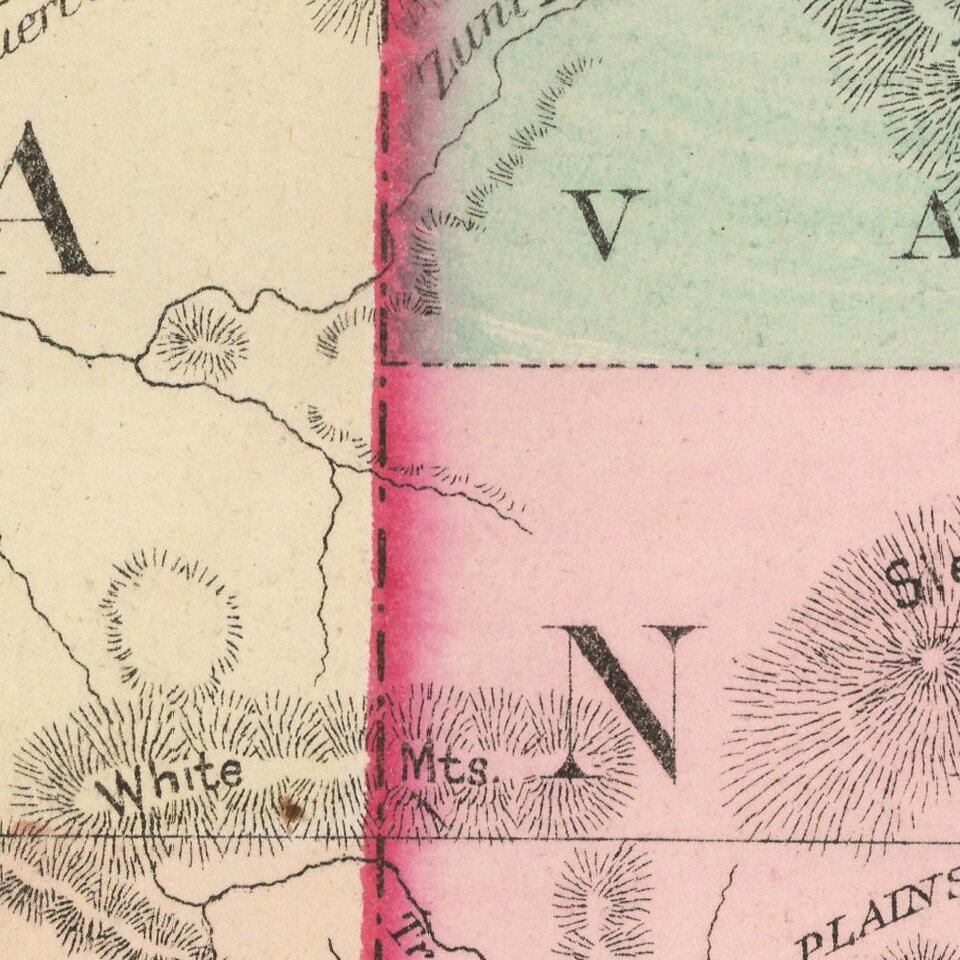
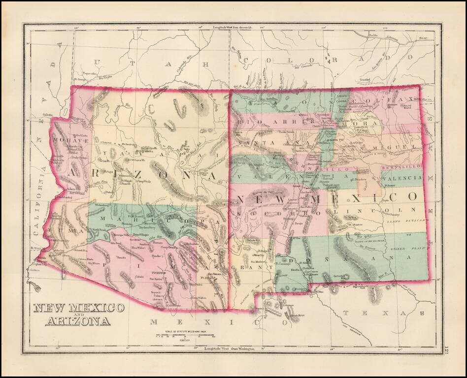
Detailed map of New Mexico and Arizona, showing a number of newly formed counties and transitional borders in both states.
The Southern Pacific is shown running from Yuma, across Arizona with a line splitting off at Deming, and extending to Frontera and Fort Bliss. The main line continues on to Albuquerque, where it meets the Atlantic and Pacific, which shows a western terminus just beyond Pueblo, and a tentative route to California is shown. Several branches continue on to Colorado.
Many towns, counties, camps, forts and other landmarks are shown.
O. W. Gray was a publishing firm based in Philadelphia. Later, they published as O. W. Gray & Son. They published atlases in the late nineteenth century. Gray's National Atlas was one of the most successful commercial ventures of the 1870s and one of the last to employ hand coloring on maps.
If you are a student, write to us in telegram: @antiquemaps and indicate what material you need and for what work you need a map in high detail. We are ready to provide material on special terms. For students only!

![Mexique par Th. Duvotenay…1843 [Republic of Texas]](/map/small/67925.jpg)
