Map size in jpg-format: 63.3086MiB
Click to open in high resolution (open in new tab).
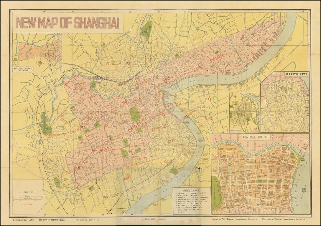
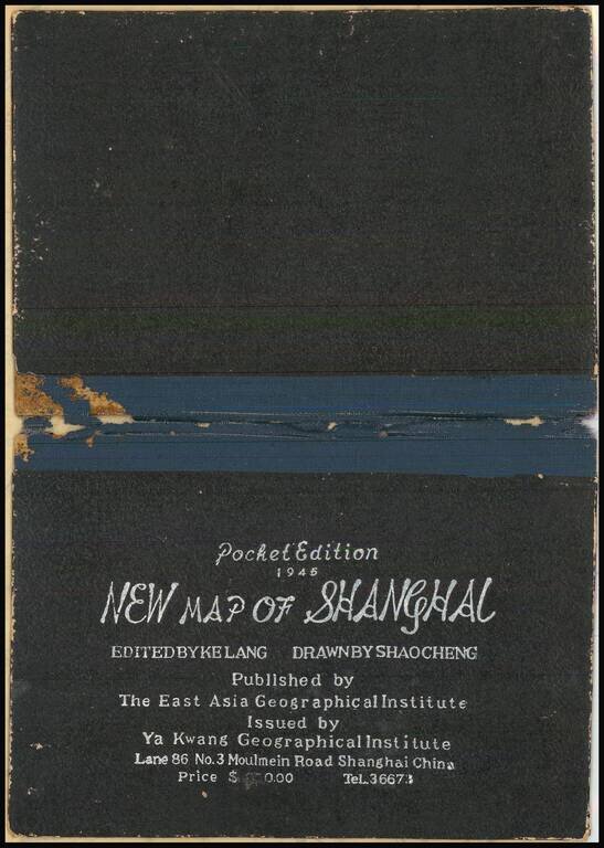
Detailed map of Shanghai, published in Shanghai by Ya Kwang Geographical Institute, drawn by Shao Cheng and edited by Ke Lang.
Includes 4 inset maps:
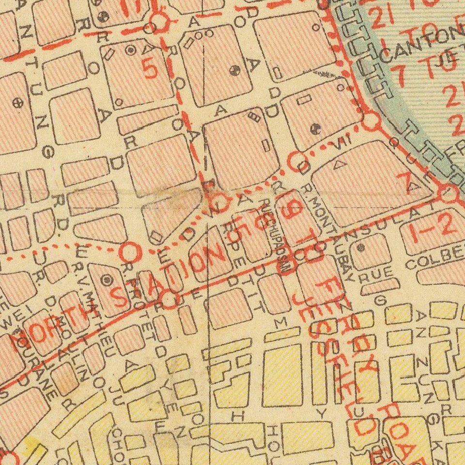
Railways, tramways, bus routes are marked and the names of the wharves along the river. Major firms, banks, etc. are named on the map of the central district. An attractive and detailed map of this cosmopolitan city.
If you are a student, write to us in telegram: @antiquemaps and indicate what material you need and for what work you need a map in high detail. We are ready to provide material on special terms. For students only!
![[Martin Behaim Globe / Book] Pars Globi terrestris Ao. 1492 a Martino Behaim Equite Lusitano Norimbergae confecti Delineavit Christoph. Theoph de Murr 1778 (bound with:) Diplomatische Geschichte des Portugesischen berühmten Ritters Martin Behaims](/map/small/68828.jpg)
![Il Disegno Della Terza Parte Dell' Asia [Gastaldi's Wall Map of SE Asia with extra panels!]](/map/small/30554hbp.jpg)
![Chinae, olim Sinarum regionis nova descriptio. auctore Ludouico Georgio. [English Edition!]](/map/small/71123.jpg)