Map size in jpg-format: 3.18988MiB
Click to open in high resolution (open in new tab).
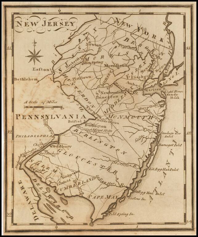
One of the earliest American maps of the state of New Jersey from the first American gazetteer.
Joseph T. Scott, a Philadelphia engraver and publisher, issued his gazetteer during the early days of American cartography. Scott included much detail of rivers, counties, roads, and towns.
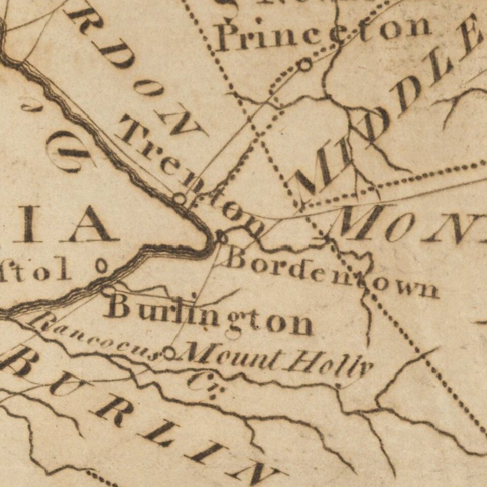
The depiction of roads is quite detailed for the time.
If you are a student, write to us in telegram: @antiquemaps and indicate what material you need and for what work you need a map in high detail. We are ready to provide material on special terms. For students only!
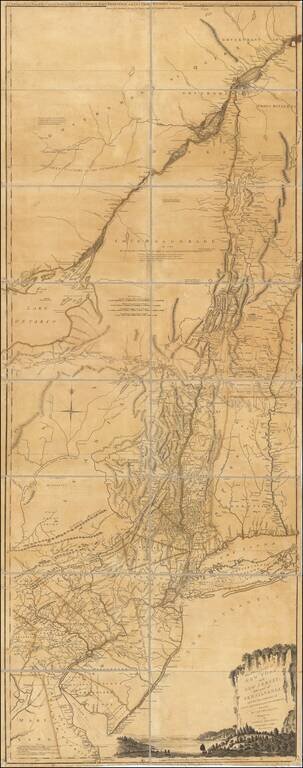
![(American Revolution) [Manuscript Map of New York City and Northern New Jersey]](/map/small/69609.jpg)