Map size in jpg-format: 18.5927MiB
Click to open in high resolution (open in new tab).
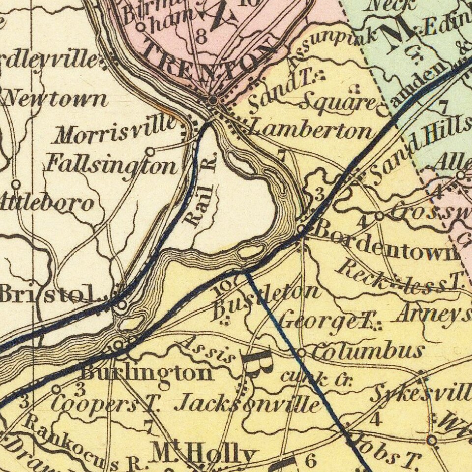
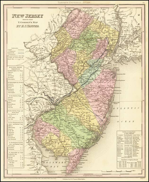
A detailed and attractive map of New Jersey, hand-colored by county, showing roads, canals, towns, steamship routes and other interesting details.
Includes railroads and proposed railroads and a number of tables of distances, stage routes, canal routes and populations.
If you are a student, write to us in telegram: @antiquemaps and indicate what material you need and for what work you need a map in high detail. We are ready to provide material on special terms. For students only!
![(American Revolution) [Manuscript Map of New York City and Northern New Jersey]](/map/small/69609.jpg)