Map size in jpg-format: 19.345MiB
Click to open in high resolution (open in new tab).

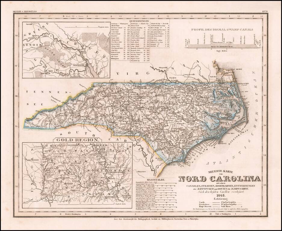
Elegantly engraved & detailed map of North Carolina, based upon Tanner's work in the early 1840s.
Shows counties, towns, roads, canals, lakes, etc. Detailed insets of the Gold Region.
While often referred to as the "German Mitchell," this is an unfair characterization, as the maps have some significant differences and are better engraved than Tanner or Mitchell's work. The project listed publication in Hildburghausen, Paris and Philadelphia, but we know of no connection to Paris.
An interesting map for collectors.
Joseph Meyer (1796-1856) was a German publisher who released Meyers Konversations-Lexikon, a German-language encyclopedia in print from 1839 to 1984. Meyer was born in Gotha and educated as a merchant in Frankfurt, an important city in the book trade. He traveled in London in 1816 and was back in German in 1820, where he began to invest in textiles and railways. He opened his publishing operation, Bibliographisches Institut, in 1826. His publications each had a serial number, a new innovation at the time. He was best known for his atlases and the Meyers Universum (1833-1861), which featured steel-engravings of the world. The Universum stretched to 17 volumes in 12 languages and was subscribed to by 80,000 people all over Europe. Thanks to his publishing success, Meyer moved the Institut from Gotha to Hildburghausen in 1828. Meyer died in the latter city in 1856.
If you are a student, write to us in telegram: @antiquemaps and indicate what material you need and for what work you need a map in high detail. We are ready to provide material on special terms. For students only!
![The United States of North America with the British Territories And Those of Spain, according to the Treaty of 1784 . . . 1793 [shows Franklinia!]](/map/small/64978.jpg)

