
Map size in jpg-format: 12.2524MiB
Click to open in high resolution (open in new tab).

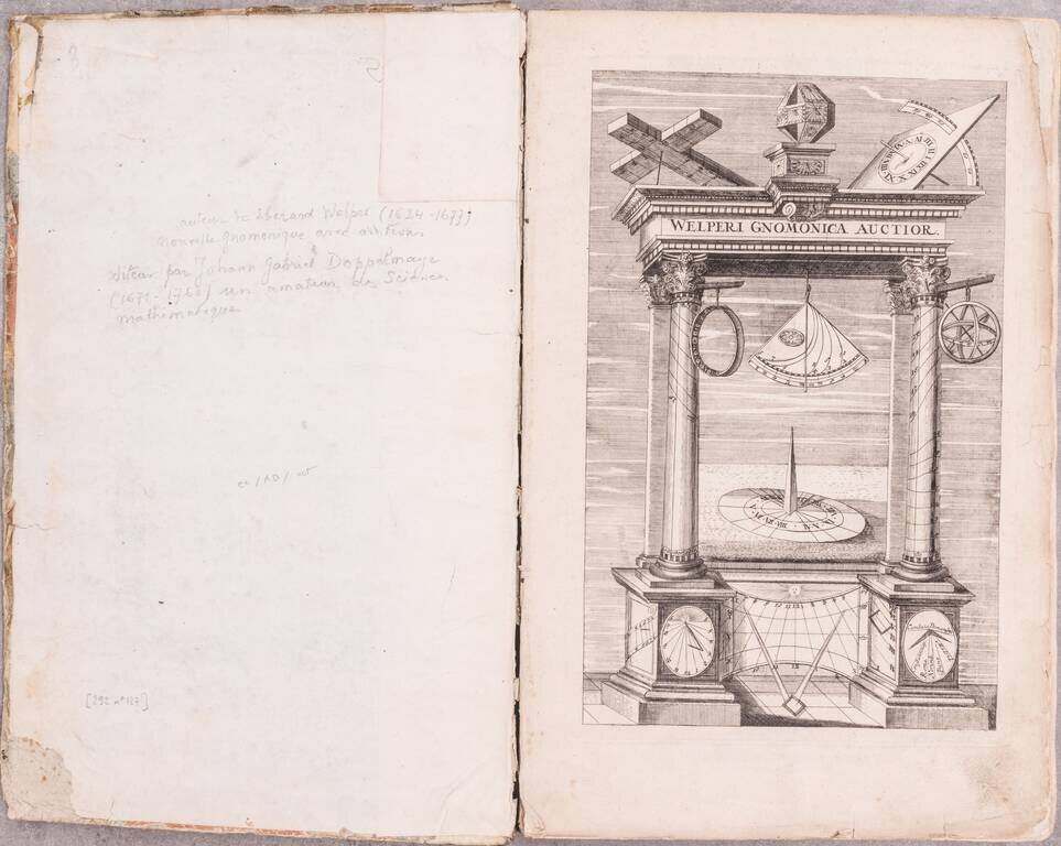
Eberhard Welper's famous work on the construction of sundials, extensively illustrated with engraved plates, including a rare map of the world "Allgemeine Landes- und Uhr-Tafel".
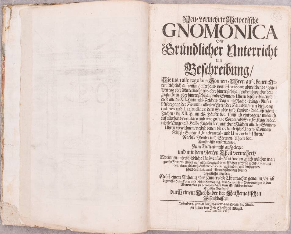
Welper's work was first published in 1625, with two new parts published in 1672 and '81. Doppelmayr published the present fourth and final edition with Weigel in 1708.
The plates largely show geometrical figures related to sundial construction and use. The world map, "Allgemeine Landes- und Uhr-Tafel", a somewhat retrograde presentation, shows an early interpretation of global time zones.
Collation
[8], 200, 38 pages. Engraved title page and 35 engraved plates.
)o(⁴, A⁴-T², Tt³-Tt⁴, ll⁴, X-Z⁴, Aa-Bb⁴, a-e³
If you are a student, write to us in telegram: @antiquemaps and indicate what material you need and for what work you need a map in high detail. We are ready to provide material on special terms. For students only!


