logo

1925. Motoring In Penang / Penang Island 1925. Straits Settlement

  • Motoring In Penang  / Penang Island 1925.  Straits Settlement
  • Motoring In Penang  / Penang Island 1925.  Straits Settlement

Motoring In Penang / Penang Island 1925. Straits Settlement information:

Year of creation: 
Resolution size (pixels): 
 8835x4612 px
Disk Size: 
 10.8798MiB
Number of pages: 
 2
Place: 
 Penang

Print information. Print size (Width x height in inches):
Printing at 72 dpi 
  122.71 х 64.06
Printing at 150 dpi 
 58.9 х 30.75
Printing at 300 dpi 
 29.45 х 15.37

An example of detailing the file of this map of in a printable high-resolution:

Click to open in high resolution (open in new tab).
Attention! this is just the central piece (central area 960x960 px) of the map file!
This is an example, so that you can see and study the level of detail of a given map. The entire Map will be fully available after payment!

Motoring In Penang  / Penang Island 1925.  Straits Settlement

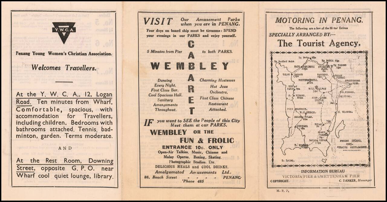
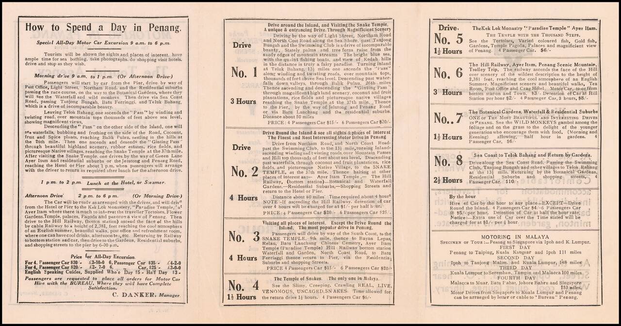
Specially Arranged By -- The Tourist Agency

Fascinating early road map of Penang Island, with the name D. Laing at the lower left corner of the map.

The map is one panel of a six panel promotional brochure, published by the Penang Information Bureau.

D. Laing is David F. Laing, who also published Information and travellers, shopping guide and motoring drives about Penang, the island of perpetual summer in Penang.

A rare early motor tourism guide.


Special conditions for students!

If you are a student, write to us in telegram: @antiquemaps and indicate what material you need and for what work you need a map in high detail. We are ready to provide material on special terms. For students only!

Item information:

Year of creation:
Size:
8835x4612 px
Disk:
10.8798MiB
Number of pages:
2
Place:
Penang
Author:
Penang Information Bureau.
$14.99

Related item