Map size in jpg-format: 1.3653MiB
Click to open in high resolution (open in new tab).
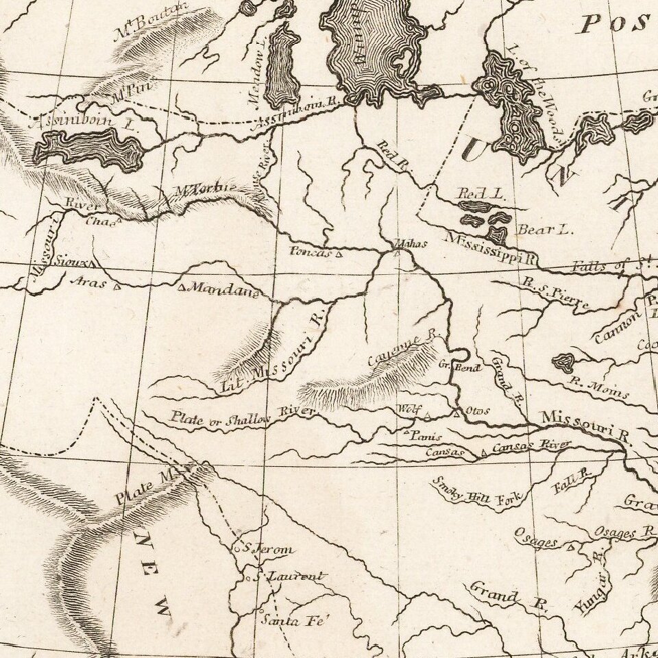
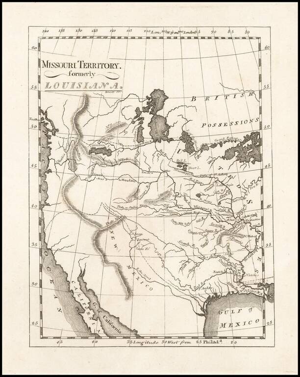
One of the Earliest Maps To Incorporate Lewis & Clark's Reports From Their Expedition Across America To The Pacific
Reduced size example of Matthew Carey's map of Missouri Territory, published shortly after the return of Lewis & Clark and in the same year as the issuance of their highly influential map of the region from the Missouri River to the Pacific Ocean (also issued by Matthew Carey).
Carey's map is a curious amalgam of information. While it includes highly up to date Lewis & Clark geographical details in certain portions of the map, other portions continue to rely upon Soulard and earlier material furnished by Lewis.
An essential map of Western American collectors.
If you are a student, write to us in telegram: @antiquemaps and indicate what material you need and for what work you need a map in high detail. We are ready to provide material on special terms. For students only!


