Map size in jpg-format: 55.0515MiB
Click to open in high resolution (open in new tab).
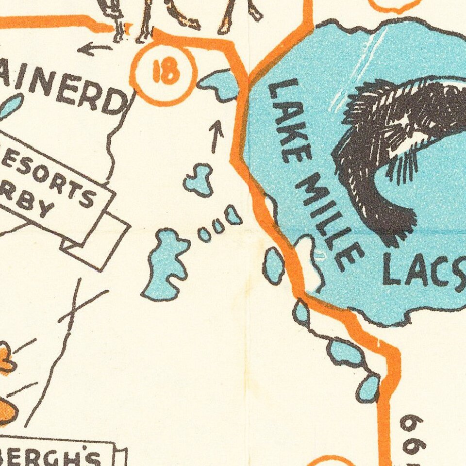
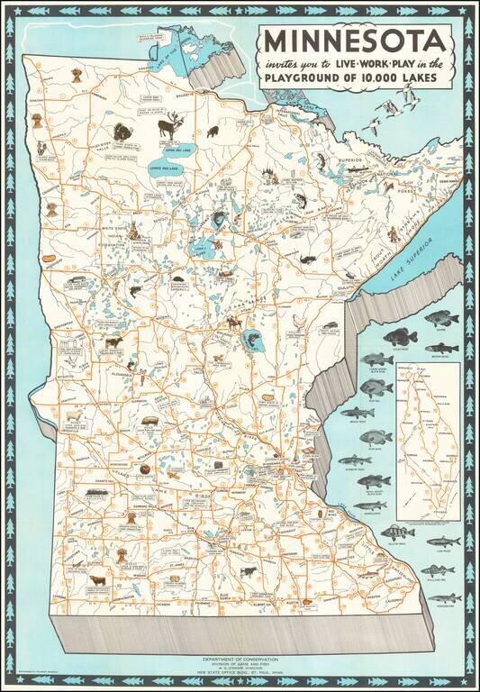
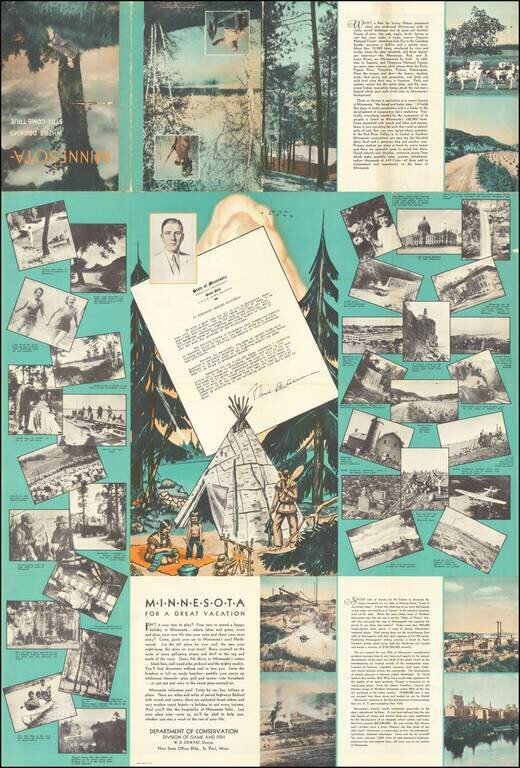
Attractive Vintage Pictorial Map of Minnesota, Featuring the State's Local Fish, Livestock, and Agriculture.
The map illustrates fourteen species of fish and across the state the local produce and livestock species are illustrated pictorially.
The verso has numerous photo views and essays promoting the state.
Issued by the Minnesota Tourist Bureau in partnership with the Minnesota Department of Highways.
The date can be estimated based on Governor Floyd B. Olson's tenure of 1931-1936.
If you are a student, write to us in telegram: @antiquemaps and indicate what material you need and for what work you need a map in high detail. We are ready to provide material on special terms. For students only!