Map size in jpg-format: 127.462MiB
Click to open in high resolution (open in new tab).

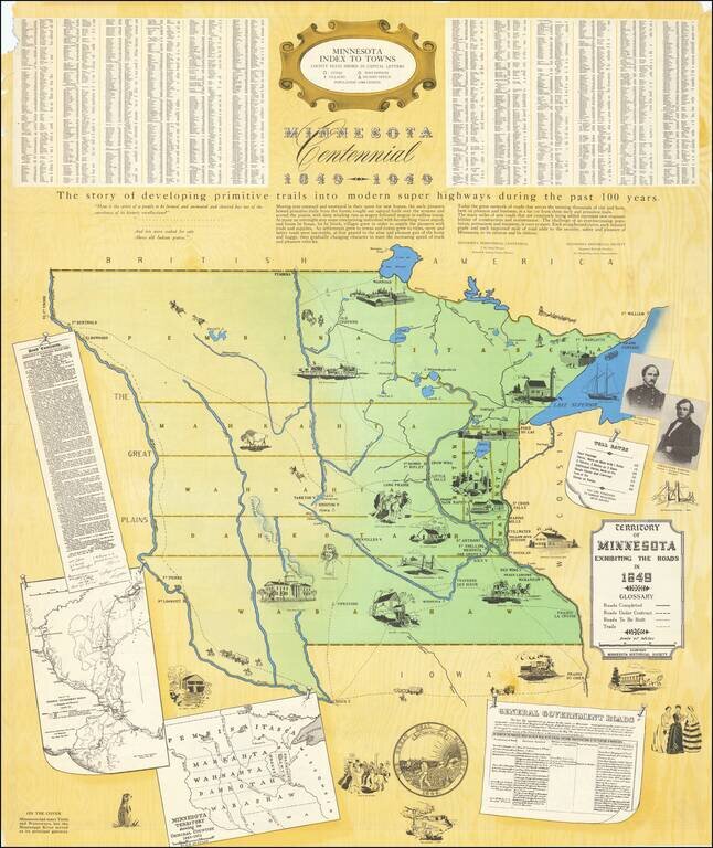
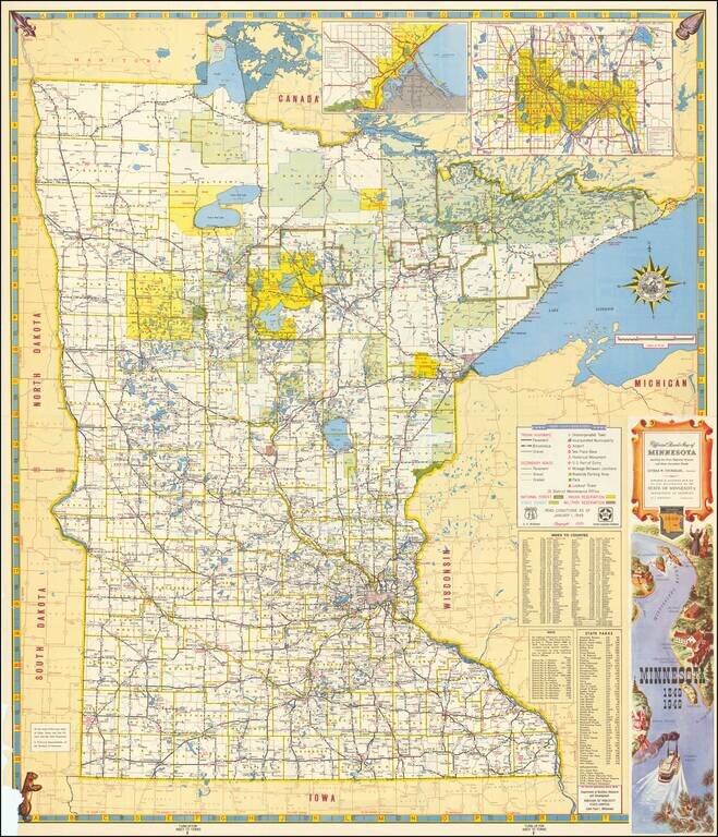
Large Minnesota Historical Society pictorial map depicting the Territory of Minnesota in 1849.
The main map focuses on the roads in the Territory in 1849, an inset map shows the original counties, and another shows the roads in eastern Minnesota in 1855.
Imperfect example of a nice mid-century pictorial of Minnesota.
If you are a student, write to us in telegram: @antiquemaps and indicate what material you need and for what work you need a map in high detail. We are ready to provide material on special terms. For students only!