Map size in jpg-format: 15.6354MiB
Click to open in high resolution (open in new tab).
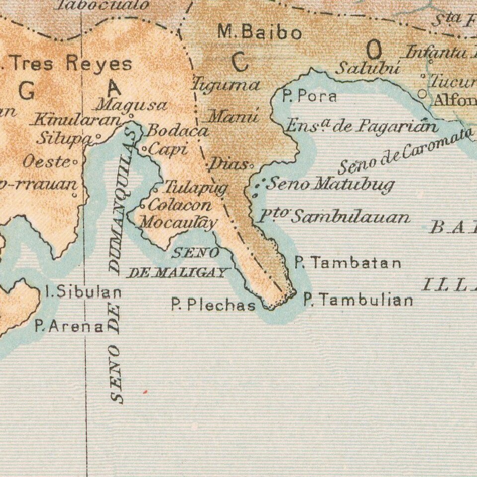
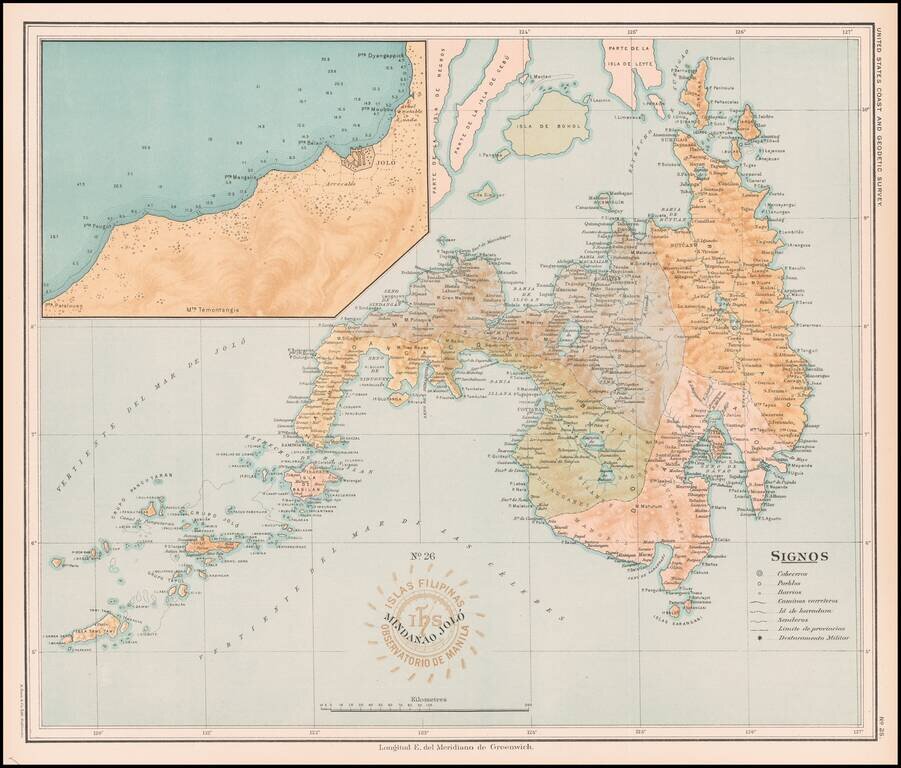
Fine map of the Island of Mindanao, with a large image inset of the area around Jolo, published under the direction of Jose Algue and the United States Coast and Geodetic Survey in 1899.
The map appeared in Atlas de Filipinas: Colleccion de 30 mapas trabajados por delineantes filipinos bajo la direccion del P. Jose Algue.
If you are a student, write to us in telegram: @antiquemaps and indicate what material you need and for what work you need a map in high detail. We are ready to provide material on special terms. For students only!
![[Martin Behaim Globe / Book] Pars Globi terrestris Ao. 1492 a Martino Behaim Equite Lusitano Norimbergae confecti Delineavit Christoph. Theoph de Murr 1778 (bound with:) Diplomatische Geschichte des Portugesischen berühmten Ritters Martin Behaims](/map/small/68828.jpg)
![Il Disegno Della Terza Parte Dell' Asia [Gastaldi's Wall Map of SE Asia with extra panels!]](/map/small/30554hbp.jpg)
![Chinae, olim Sinarum regionis nova descriptio. auctore Ludouico Georgio. [English Edition!]](/map/small/71123.jpg)