Map size in jpg-format: 49.3146MiB
Click to open in high resolution (open in new tab).
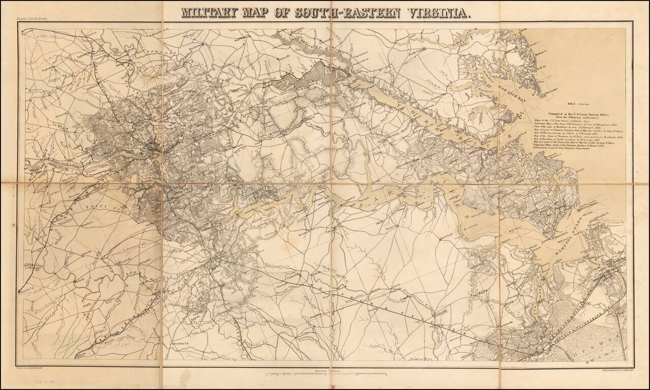
Rare separately issued map Southeastern Virginia, produced by Lindenkohl and lithographed by Krebs at the direction of the US War Department in 1864.
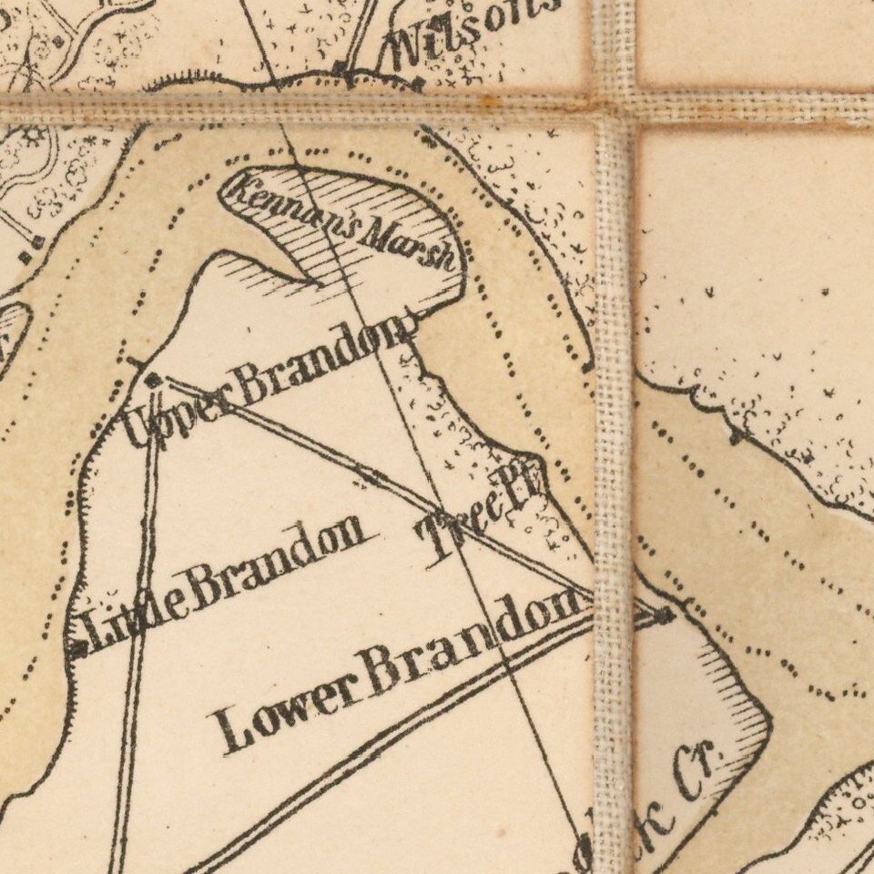
The map depicts the towns, courthouses, lines of communication and other militarily significant information in fine detail and includes a list of 10 maps (some being groups of maps) utilized by Lindenkohl in preparing this map. Second edition, revised to include military campaign maps from 1864.
During the Civil War, the US Coast Survey Department became the official mapmaking branch of the United States War Department. Under the direction of A.D. Bache, many of the most talented surveyors and mapmakers were employed compiling maps from existing official and commercial sources. Among the most active were the Lindenkohl brothers, whose names appear on a number of these maps.
Provenance
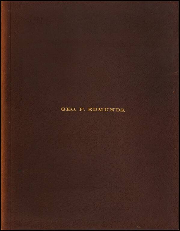
The original owner of the map was George Franklin Edmunds. Edmunds was a Republican U.S. Senator from Vermont. Before entering the U.S. Senate, he served in a number of high-profile positions, including Speaker of the Vermont House of Representatives, and President pro tempore of the Vermont State Senate. He served in the U.S. Senate from 1866 to 1891.
If you are a student, write to us in telegram: @antiquemaps and indicate what material you need and for what work you need a map in high detail. We are ready to provide material on special terms. For students only!