Map size in jpg-format: 66.4747MiB
Click to open in high resolution (open in new tab).
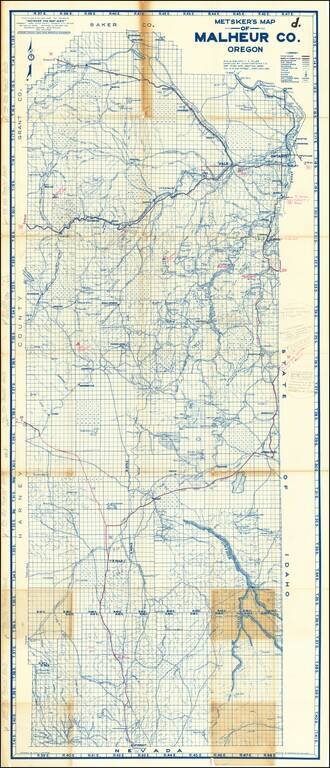
Highly Annotated With New Roads and Mining Details
Detailed map of Malheur County in Southwestern Oregon.
The map is extensively annotated several different colors. For example, near Owyhee Reservoir (built in 1927), a pencil annotations notes:
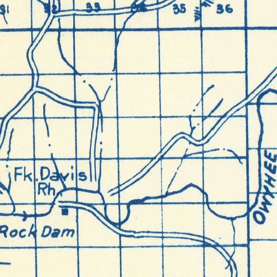
"Watson" and the bridge shown here are under about 100 feet of water, (of Owyhee Reservoir), now- no long longer exist-
The map legend provides symbols for:
If you are a student, write to us in telegram: @antiquemaps and indicate what material you need and for what work you need a map in high detail. We are ready to provide material on special terms. For students only!