Map size in jpg-format: 70.0951MiB
Click to open in high resolution (open in new tab).
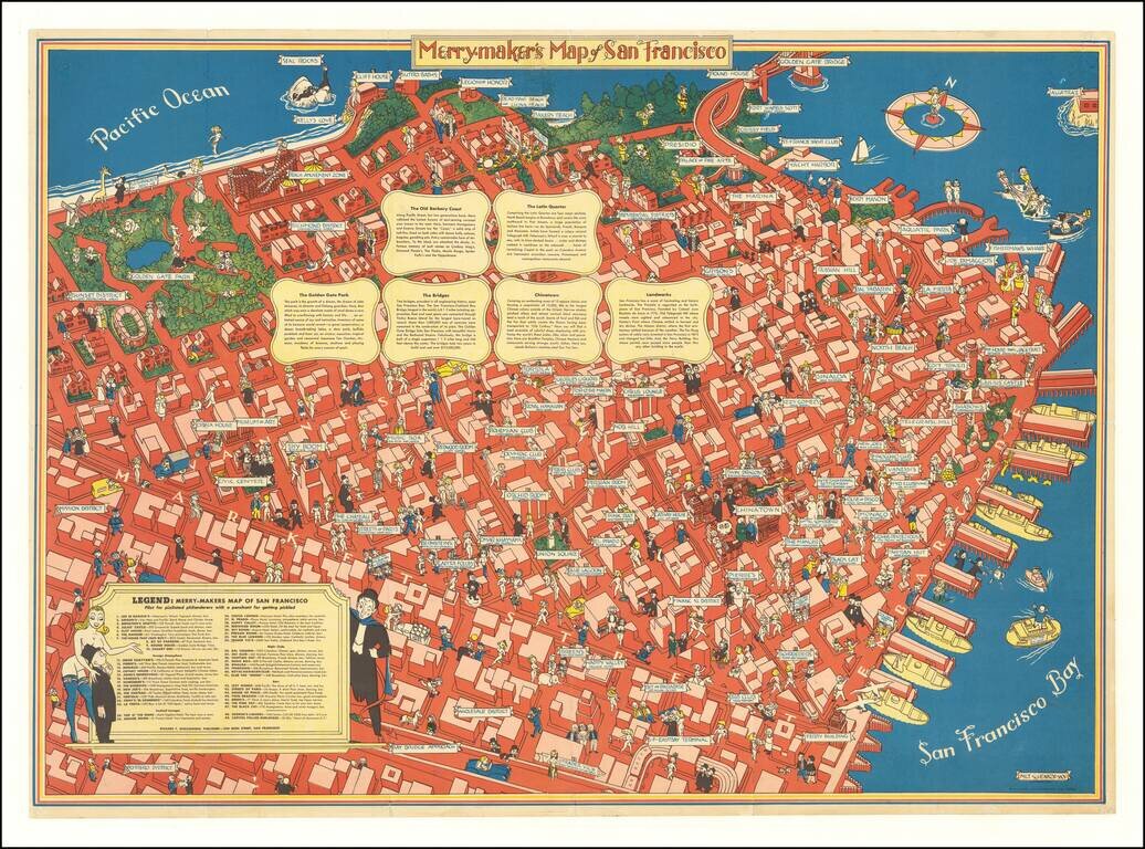
A Pilot for Pixilated Philanderers with a Penchant for Getting Pickled
Scarce map of San Francisco, intended for tourists, sailors and other revelers.
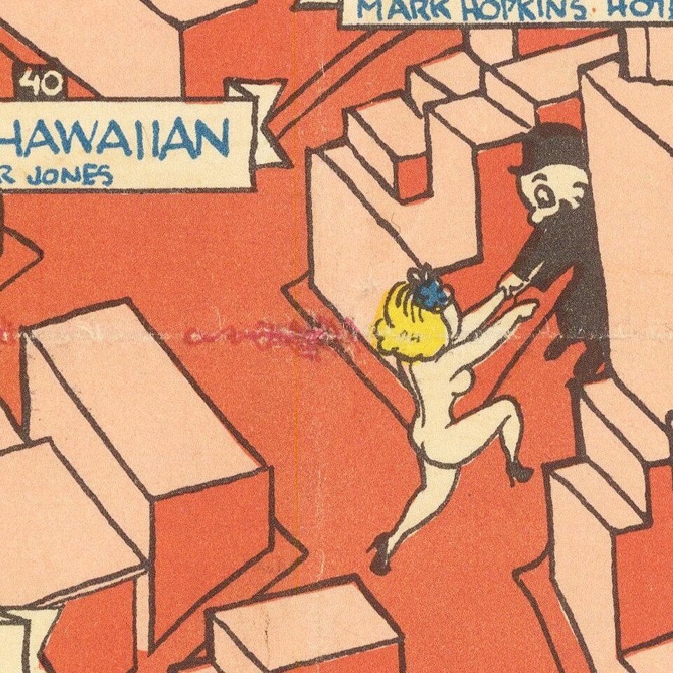
The map includes a guide noting Restaurants (including Joe Di Maggios), Foreign Atmosphere (including Omar Khayyams), Night Clubs (including the Tahitian Hut and the 365 Club), and Bars (House of Pisco, The Pink Rat, The Black Cat, etc.) and, of course, Capitol's Follies Burlesque.
The map emphasizes the city's reputation for sexual license and uninhibited entertainment. However, more typical tourist attractions on this map are also labeled: beaches, museums, neighborhoods, parks and landmarks. Ships are docked at the piers, an airplane flies over the ocean, and a compass rose is drawn in perspective as if floating on the bay. Alongside the many raucous illustrations, the six text panels in the upper section offer conventional guidebook-style descriptions of "The Old Barbary Coast," "The Latin Quarter," "The Golden Gate Park," "The Bridges," "Chinatown" and "Landmarks."
The rest of the map highlights more traditional tourist attractions. There were several editions with varying second titles.
Milt Schenkovsky was a cartoonist and illustrator apparently based in the San Francisco Bay area and active during the 1930s and 1940s. He also illustrated humor books and published his own book of poems called Virgin Sturgeon.
Rarity
The map is scarce on the market.
If you are a student, write to us in telegram: @antiquemaps and indicate what material you need and for what work you need a map in high detail. We are ready to provide material on special terms. For students only!
![[Signed Political Satire Artwork] Vietnam ... Vietnam ... Vietnam ...](/map/small/68726.jpg)

