Map size in jpg-format: 62.5278MiB
Click to open in high resolution (open in new tab).
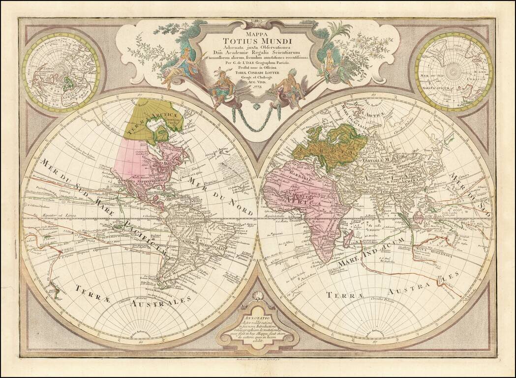
Decorative double hemisphere map of the World, published by TC Lotter in Augsburg.
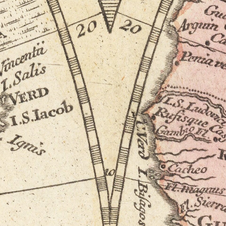
The map shows an number of early conjectural coastlines, including an incomplete coastline for Australia and New Guinea, New Zealand, the Northwest Coast of America, Northeast Coast of Asia and some interesting conjectural coastal outlines in the polar regions. The Sargasso Sea is also shown very prominently. Several apocryphal contacts with Antarctica are also shown, although Lotter does not attempt to tie these possible discoveries to the unknown southern continent.
The map is perhaps most noteworthy for the many early routes of exploration shown, including the routes of:
The map is scarce on the market. This is our second example in more than 20 years.
Tobias Conrad Lotter (1717-1777) is one of the best-known German mapmakers of the eighteenth century. He engraved many of the maps published by Matthaus Seutter, to whose daughter Lotter was married. He took over Seutter’s business in 1756. Lotter’s son, M. A. Lotter, succeeded his father in the business.
If you are a student, write to us in telegram: @antiquemaps and indicate what material you need and for what work you need a map in high detail. We are ready to provide material on special terms. For students only!


