Map size in jpg-format: 2.3391MiB
Click to open in high resolution (open in new tab).
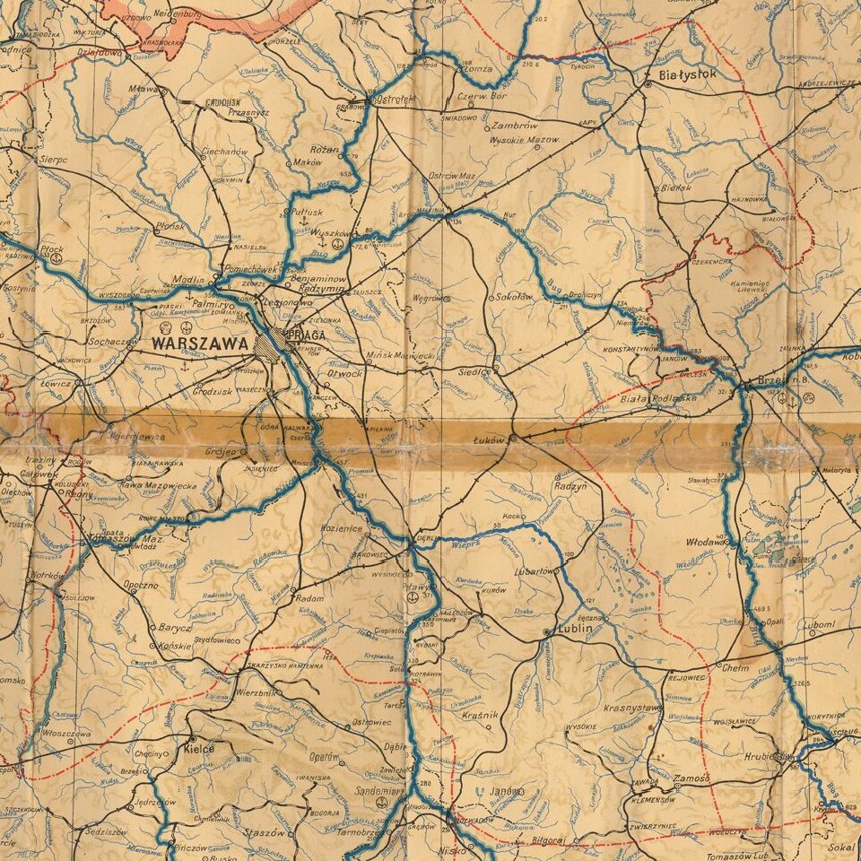
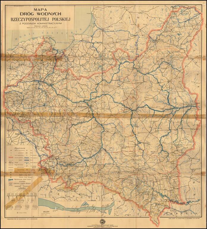
Detailed map of the waterways of Poland, focusing on both water routes and railroads (single, double and narrow gage) throughout country.
The inset map shows the Vistula River route with marinas, sailing clubs and bridges.
If you are a student, write to us in telegram: @antiquemaps and indicate what material you need and for what work you need a map in high detail. We are ready to provide material on special terms. For students only!


![[Hand Drawn Prussian Military Encampment at Opole, Poland] Special Grund-Riss Des Kaeyserl Feldl Lagers bey Oppeln in Ober Schlesien](/map/small/59726.jpg)