Map size in jpg-format: 38.0106MiB
Click to open in high resolution (open in new tab).
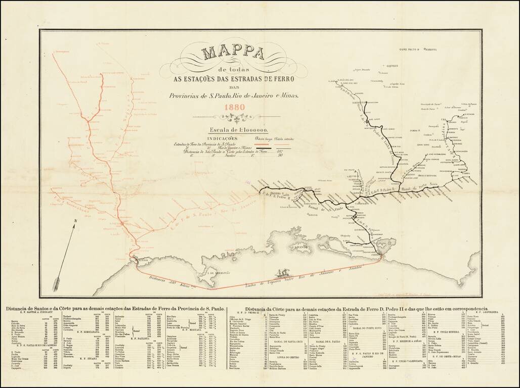
Rare separately published Railroad map, published in Sao Paulo in 1880.
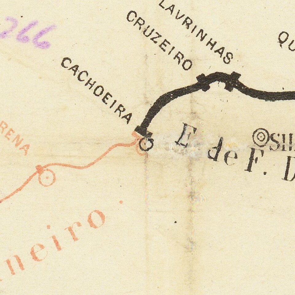
The map illustrates the railroad lines in the provinces of Sao Paolo (in red) and Rio de Janeiro e Minas (in black). The shipping line from Rio to Santos is also shown (330 kilometers).
At the bottom is a distance table, showing distances to from each station in Brazil either Santos or Corte, near Rio de Janeiro.
Rarity
We note a single copy in the National Library of Brazil.
If you are a student, write to us in telegram: @antiquemaps and indicate what material you need and for what work you need a map in high detail. We are ready to provide material on special terms. For students only!

![[Wall Map] West-Indische Paskaert waer in de graden der breedde over weder zyden vande middelyn wassende so vergrooten dat die geproportioneert syn tegen hunne nevenstaende graden de lengde.](/map/small/60169.jpg)
