
Map size in jpg-format: 33.0172MiB
Click to open in high resolution (open in new tab).
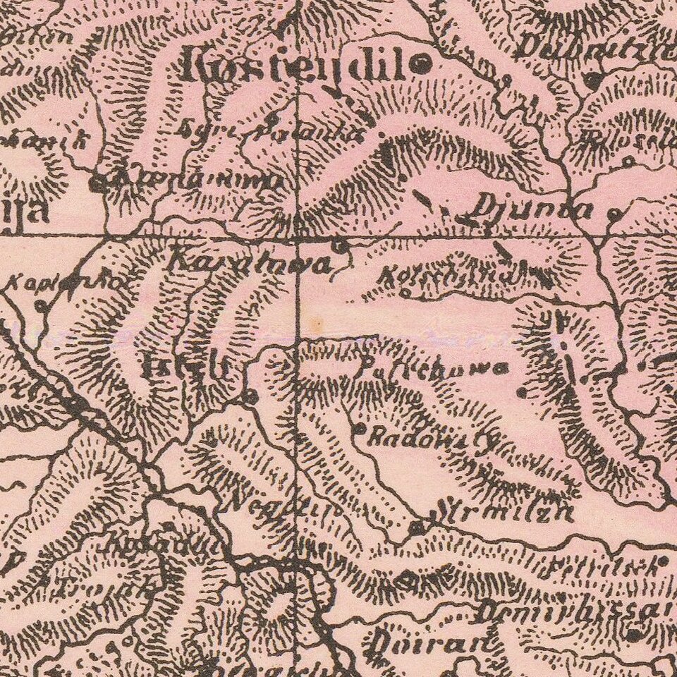
An attractive antique map of western Turkey, Greece, and the Balkans with various insets. The map is highly detailed, showing many settlements, islands, railroads, and more. The map is colored in attractive pastels.
The geopolitical boundaries at the time are shown. Greece is independent but only controls Hellenistic lands south of Lania. Most of the rest of southeast Europe is colored pink and shown as part of Turkey. Rumelia, as Turkish Europe was known, would last until World War I, slowly diminishing in size. Select other countries are independent: Rumania, "Moudavia," "Servia," and even little Montenegro down on the Adriatic. Parts of adjoining countries and islands are shown.
Two insets are included, one of the Black Sea, and one of the Bosphorous and Constantinople. These both show increased detail and name additional regions.
If you are a student, write to us in telegram: @antiquemaps and indicate what material you need and for what work you need a map in high detail. We are ready to provide material on special terms. For students only!

![Patriarchatus Antiocheni Geographica Descriptio . . . [shows Cyprus]](/map/small/54177.jpg)
