Map size in jpg-format: 70.1227MiB
Click to open in high resolution (open in new tab).
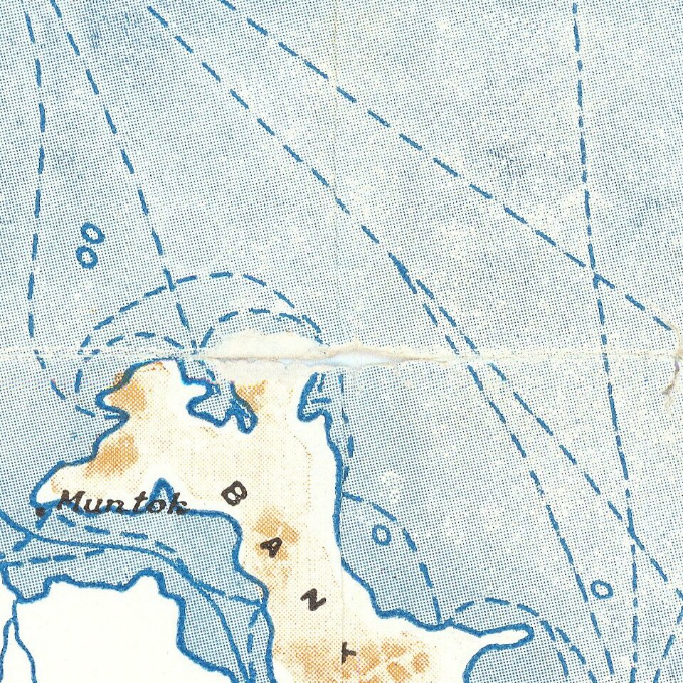
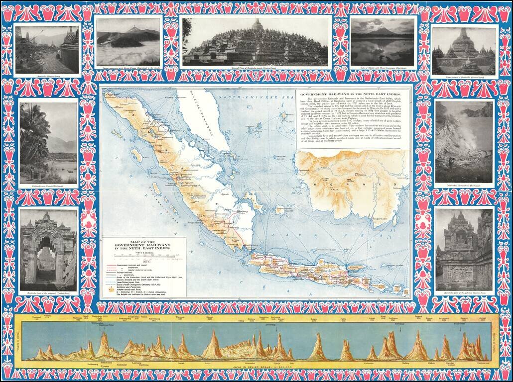
Detailed map of the Dutch East Indies, focusing on the Railroad Maps and other transportation routes in and around the islands.
The map is ringed by photographs of points of interest in and around the islands, along with a profile view of the island of Java, focusing on the elevations of of the tallest mountains.
Railroad routes include:
The map is apparently quite scarce -- we were not able to locate any other examples.
If you are a student, write to us in telegram: @antiquemaps and indicate what material you need and for what work you need a map in high detail. We are ready to provide material on special terms. For students only!

![[Sunda and Lilliput, etc. from Gulliver's Travels]](/map/small/54927.jpg)
