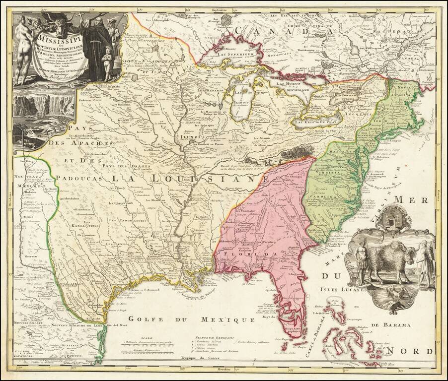
Map size in jpg-format: 5105220B
Click to open in high resolution (open in new tab).

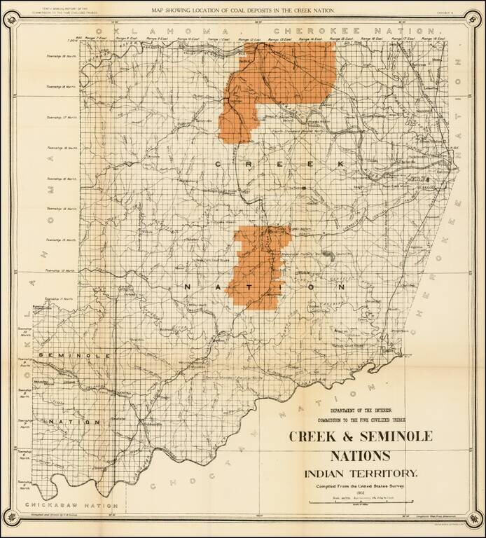
Striking map of the Creek & Seminole Nation lands in Indian Territory, showing the coal regions for the Department of the Interior.
The map depicts the various land classifications in the Creek & Seminole Nations, including Agricultural, Prairie, Hilly and Mountain Lands. Te map also depicts towns, roads rivers, and other details. Detailed and decorative for the period.
If you are a student, write to us in telegram: @antiquemaps and indicate what material you need and for what work you need a map in high detail. We are ready to provide material on special terms. For students only!