logo

1910. Map of the City of Fargo Cass County, No. Dakota

  • Map of the City of Fargo Cass County, No. Dakota

Map of the City of Fargo Cass County, No. Dakota information:

Year of creation: 
Resolution size (pixels): 
 10110x13840 px
Disk Size: 
 35.294MiB
Number of pages: 
 1
Place: 
 Fargo, North Dakota
Author: 

Print information. Print size (Width x height in inches):
Printing at 72 dpi 
  140.42 х 192.22
Printing at 150 dpi 
 67.4 х 92.27
Printing at 300 dpi 
 33.7 х 46.13

An example of detailing the file of this map of in a printable high-resolution:

Click to open in high resolution (open in new tab).
Attention! this is just the central piece (central area 960x960 px) of the map file!
This is an example, so that you can see and study the level of detail of a given map. The entire Map will be fully available after payment!

Map of the City of Fargo Cass County, No. Dakota

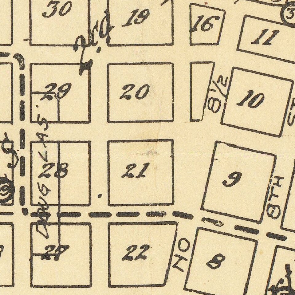
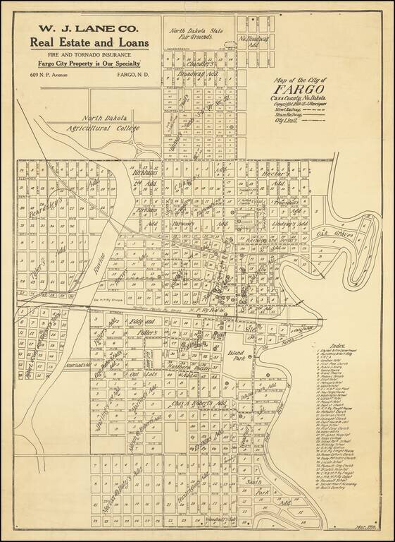
Antique map of Fargo, North Dakota, published by E.J. Henriques in the city in March of 1910.

The map is quite detailed, featuring the names of the Additions, as well as the outlines of the original town. The Index in the lower-right corner has 42 items, among them schools, hotels, churches, and other public buildings.

The campus of the North Dakota Agricultural College is shown to the northwest of the city. That is now North Dakota State University.

The map promotes W.J. Lane Co. Real Estate and Loans Fire and Tornado Insurance.

The map is evidently quite rare. We find no examples in OCLC.


Special conditions for students!

If you are a student, write to us in telegram: @antiquemaps and indicate what material you need and for what work you need a map in high detail. We are ready to provide material on special terms. For students only!

Item information:

Year of creation:
Size:
10110x13840 px
Disk:
35.294MiB
Number of pages:
1
Place:
Fargo, North Dakota
Author:
E.J. Henriques.
$14.99

Related item