Map size in jpg-format: 64.5766MiB
Click to open in high resolution (open in new tab).
A Denver Rarity
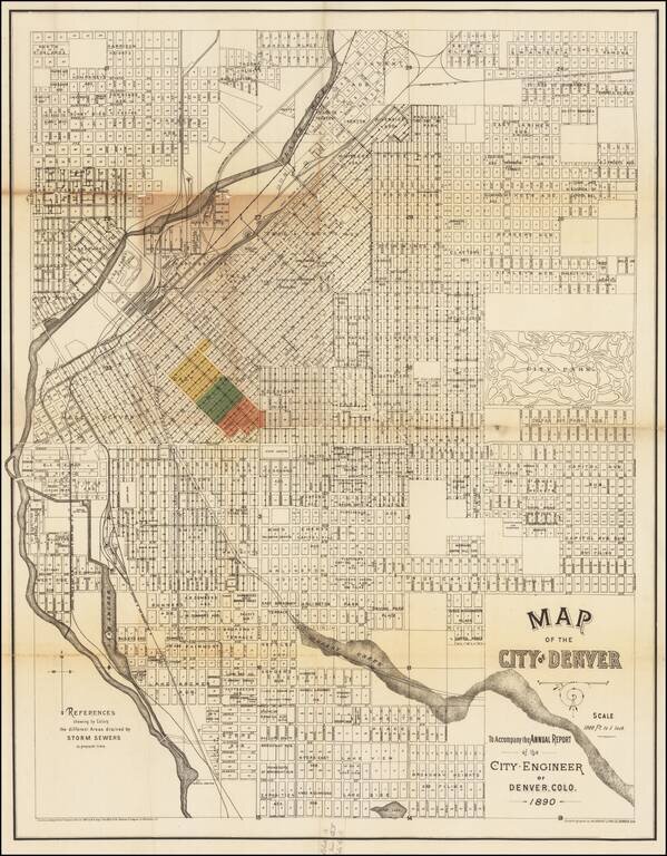
Rare large map of Denver, issued in 1890 by the City Engineer to illustrate the work on Denver's storm drain system.
While the map is titled as accompanying and annual report, our research shows that it was likely only issued in 1890 and done in two formats, one to illustrate the area drained by Storm Sewers and a second showing the future total area to be covered upon the completion of the Delgany Street sewer, which was completed in 1892.
A rare map for the city showing the latest additions and developments. Includes detail for "River Front Park" along the Platte, which would later be wiped out in a flood. Still shows Lake Archer further upstream, with an island in the lake.
Shows Cherry Creek as still mostly unreclaimed river channel. Spans from Smith Lake near present day Washington Park, and reaches up to "North Highlands" and "Swansea"
The map bears a copyright date of 1887 and the name W.B. Gray.
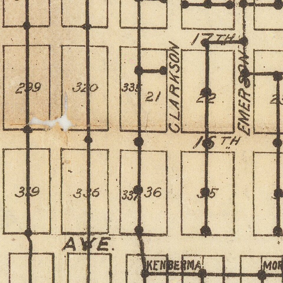
The colored area in East Denver shows "the different Areas drained by Storm Sewers" as of 1890.
Rarity
OCLC locates 4 examples of the map.
If you are a student, write to us in telegram: @antiquemaps and indicate what material you need and for what work you need a map in high detail. We are ready to provide material on special terms. For students only!
![Mexique par Th. Duvotenay…1843 [Republic of Texas]](/map/small/67925.jpg)
