Map size in jpg-format: 3.50808MiB
Click to open in high resolution (open in new tab).
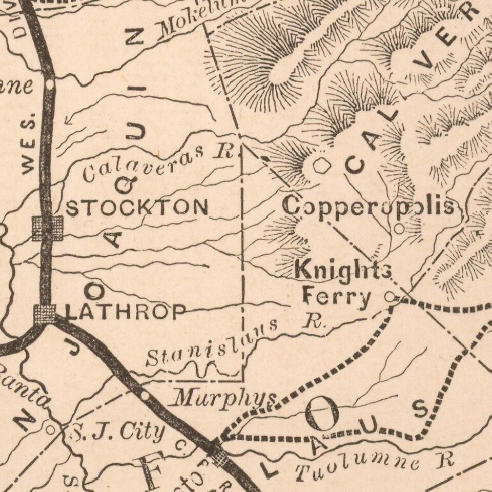
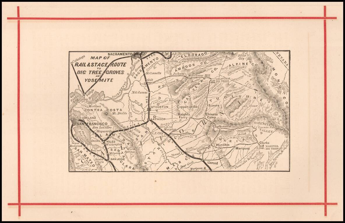
Rare early map of the routes to Yosemite and the Redwood Groves to the south, which would become Sequoia National Park.
Versions of this map are known to have been published as early as 1872, in The Wonders of the Yosemite Valley, and of California by Samuel Kneeland (1872).
If you are a student, write to us in telegram: @antiquemaps and indicate what material you need and for what work you need a map in high detail. We are ready to provide material on special terms. For students only!
![[Photo Album: Urban Military Academy -- Yosemite Summer Camp -- Hollywood Boys School -- Black Face Images]](/map/small/68607.jpg)
![California and Nevada [Yosemite, Sacremento and SF Vicinity Insets]](/map/small/63484.jpg)