logo

1900. Map of Part of Seneca Mining Distr. Yuma Co. Arizona. Compliments of Colonial Investment Co. Kansas City, Mo.

  • Map of Part of Seneca Mining Distr. Yuma Co. Arizona.  Compliments of Colonial Investment Co.  Kansas City, Mo.

Map of Part of Seneca Mining Distr. Yuma Co. Arizona. Compliments of Colonial Investment Co. Kansas City, Mo. information:

Year of creation: 
Resolution size (pixels): 
 2832x2004 px
Disk Size: 
 961065B
Number of pages: 
 1
Place: 
 Prescott, Arizona

Print information. Print size (Width x height in inches):
Printing at 72 dpi 
  39.33 х 27.83
Printing at 150 dpi 
 18.88 х 13.36
Printing at 300 dpi 
 9.44 х 6.68

An example of detailing the file of this map of in a printable high-resolution:

Click to open in high resolution (open in new tab).
Attention! this is just the central piece (central area 960x960 px) of the map file!
This is an example, so that you can see and study the level of detail of a given map. The entire Map will be fully available after payment!

Map of Part of Seneca Mining Distr. Yuma Co. Arizona.  Compliments of Colonial Investment Co.  Kansas City, Mo.

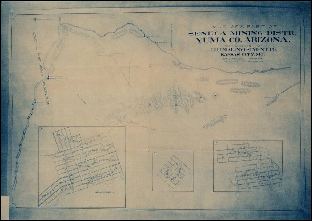
Early blueprint copy of part of the Seneca Mining District in Yuma County, showing the lands south of the Bill Williams Fork and east of the Colorado River.


Special conditions for students!

If you are a student, write to us in telegram: @antiquemaps and indicate what material you need and for what work you need a map in high detail. We are ready to provide material on special terms. For students only!

Item information:

Year of creation:
Size:
2832x2004 px
Disk:
961065B
Number of pages:
1
Place:
Prescott, Arizona
$14.99

Related item