
Map size in jpg-format: 32.3746MiB
Click to open in high resolution (open in new tab).
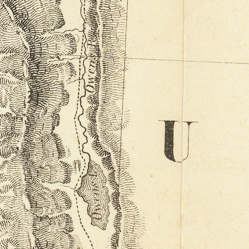
The Second Issue of Fremont's Map of the West--Issued Following the Discovery of Gold in California
Nice example of Fremont's seminal map of the West, which focuses on California, Arizona, Utah and Nevada.
Wheat dedicates 13 pages and 2 illustrations to this map, which more than any other map before or after its publication embodied the changing American West. Fremont went to California in 1845, making new and important explorations en-route, especially in the Great Basin. He proceeded north to Klamath Lake and was then summoned back to Monterey to participate in the conquest of California. He later was appointed the first Governor of California, but was later arrested and found guilty of mutiny.
It is beyond the space available here to describe all of the significant cartographic advances set forth in this map. As noted by Wheat,
though the map is not without defects, it is a wonderfully graphic report on where the expedition of 1845-46 went and what it saw. Great credit must be given to Edward M. Kern [for the topographical work] . . . . As a contribution to cartographical knowledge, the case for the map's importance was well put by Fremont himself . . . In extent, it embraces the whole western side of this continent between the eastern base of the Rocky Mountains and the Pacific Ocean, and between the Straits of Fuca and the Gulf of California . . . It is, without question, the most influential map of the region during the 19th Century and a centerpiece to any western map collection.This second edition, issued following the discovery of Gold in 1848, is a full scale section of the southwestern part of the first edition of the map, without changes, intended to illustrate the discovery of gold.
If you are a student, write to us in telegram: @antiquemaps and indicate what material you need and for what work you need a map in high detail. We are ready to provide material on special terms. For students only!

![Mexique par Th. Duvotenay…1843 [Republic of Texas]](/map/small/67925.jpg)
