logo

1934. Map of Los Angeles California

  • Map of Los Angeles California
  • Map of Los Angeles California

Map of Los Angeles California information:

Year of creation: 
Resolution size (pixels): 
 16845x13151 px
Disk Size: 
 70.3713MiB
Number of pages: 
 2
Place: 
 Los Angeles
Author: 

Print information. Print size (Width x height in inches):
Printing at 72 dpi 
  233.96 х 182.65
Printing at 150 dpi 
 112.3 х 87.67
Printing at 300 dpi 
 56.15 х 43.84

An example of detailing the file of this map of in a printable high-resolution:

Click to open in high resolution (open in new tab).
Attention! this is just the central piece (central area 960x960 px) of the map file!
This is an example, so that you can see and study the level of detail of a given map. The entire Map will be fully available after payment!

Map of Los Angeles California

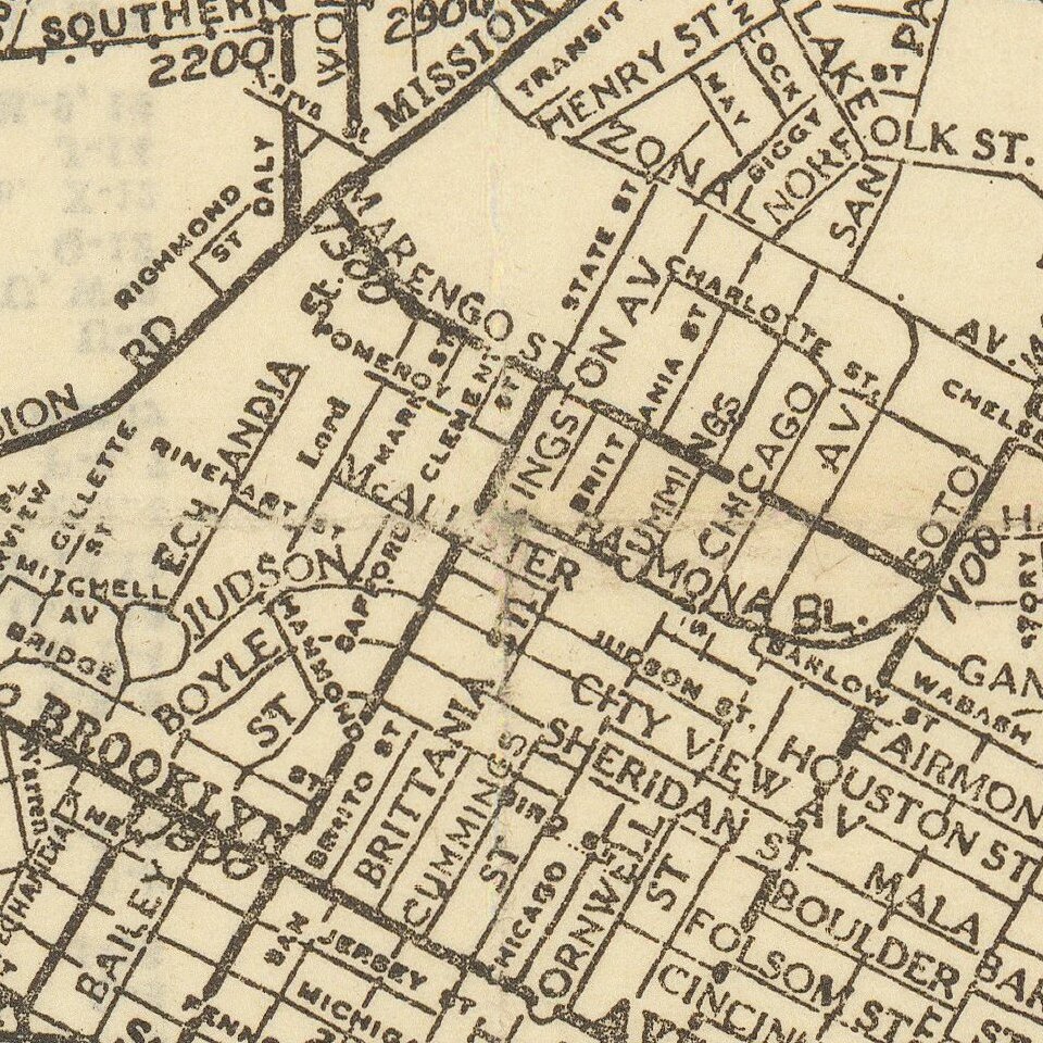
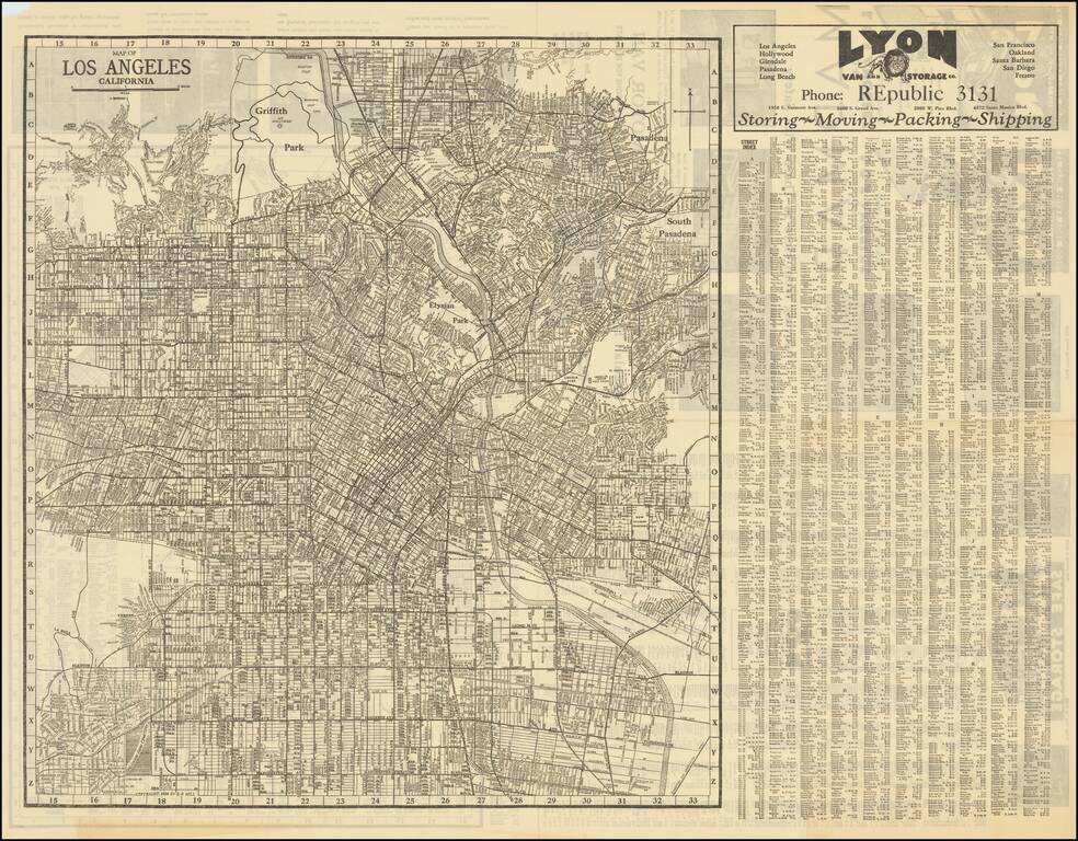
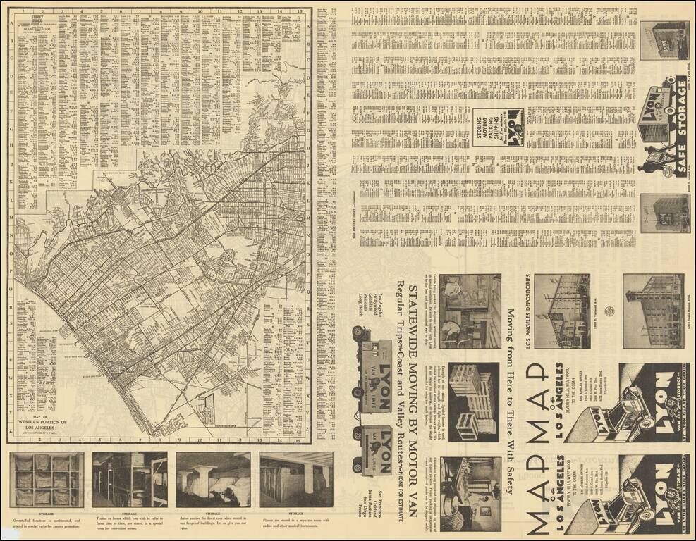
Detailed street map of 1930s Los Angeles, focusing specifically on Downtown Los Angeles and adjacent neighborhoods.

On the verso is a "Map of Western Portions of Los Angeles" also by E.F. Hill, that stretches from Vista Del Mar to Santa Monica.

The maps were made by E.F. Hill and issued by Lyon Van and Storage as a promotional.

They are important for charting the early 20th century development of Los Angeles.


Special conditions for students!

If you are a student, write to us in telegram: @antiquemaps and indicate what material you need and for what work you need a map in high detail. We are ready to provide material on special terms. For students only!

Item information:

Year of creation:
Size:
16845x13151 px
Disk:
70.3713MiB
Number of pages:
2
Place:
Los Angeles
Author:
E.F. Hill.
$14.99

Related item