Map size in jpg-format: 15.0923MiB
Click to open in high resolution (open in new tab).
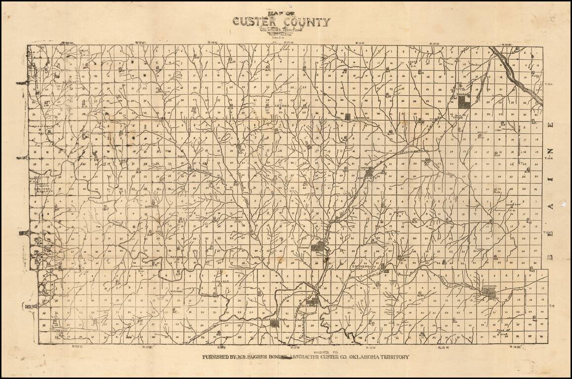
Unrecorded Early Map of Custer County, Oklahoma Territory
One of the earliest surviving printed maps of Custer County, Oklahoma Territory.
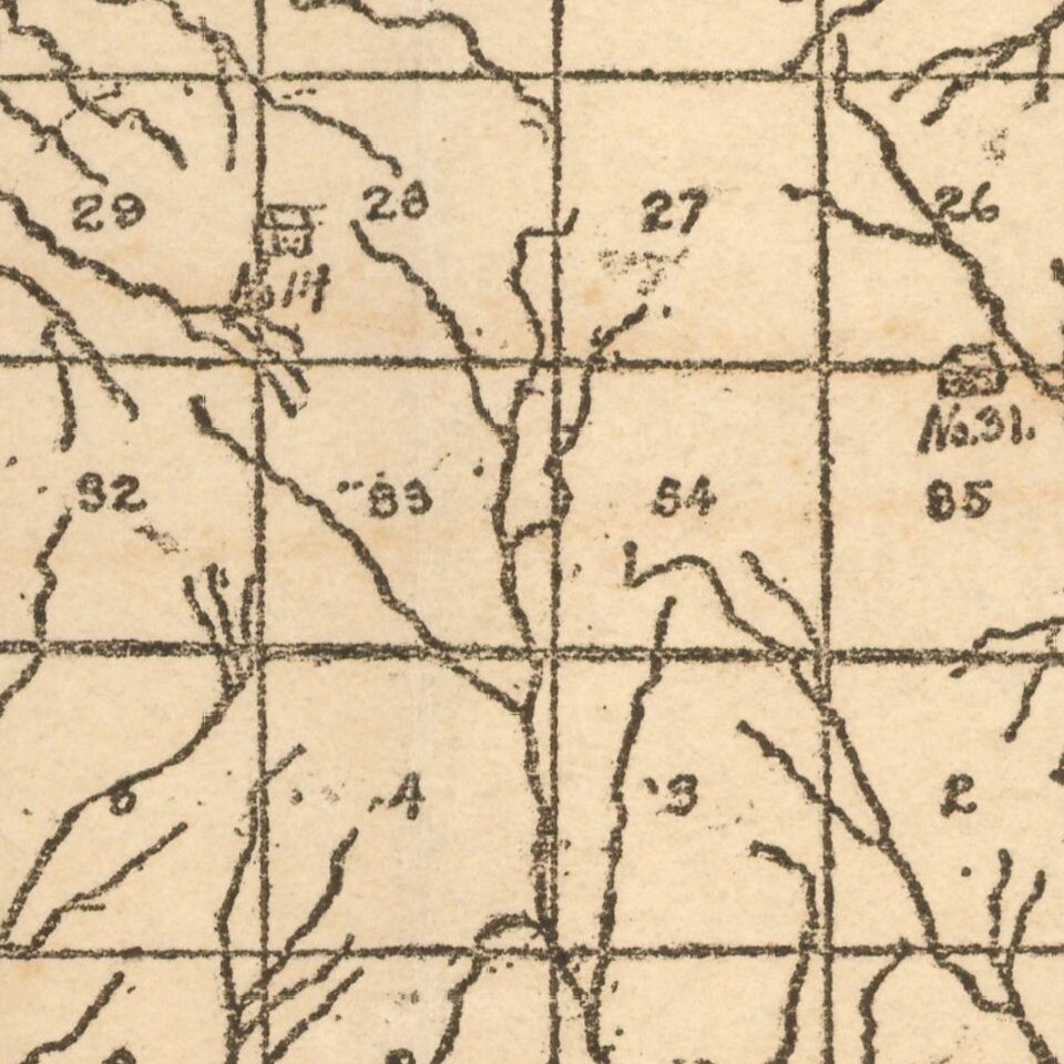
The map is subdivided into townships, with each lot subdivided into 36 numbered sections. Several towns are shown, as are several early railroads crossing the county.
Railroads shown include:
Custer County
Custer County was first formed in 1891 as an original county from what was previously Cheyenne land, and called G County. I was renamed Custer County in November 1896, named for General George Armstrong Custer. The county was settled by white settlers during the third official land run of April 19, 1892.
W. R. Hughes
The Custer County Abstract Company was first founded by W. R. Hughes in 1897. The company exists today and advertises that "Custer County Abstract Company may well be the only abstract company in Oklahoma that is run by 3 1/2 generations of women."
Rarity
The map is very rare. We were not able to locate any other examples.
We were also not able to locate any maps of Custer County in OCLC dating to before 1950.
If you are a student, write to us in telegram: @antiquemaps and indicate what material you need and for what work you need a map in high detail. We are ready to provide material on special terms. For students only!


