logo

1968. Map of Colonial Williamsburg . . .

  • Map of Colonial Williamsburg  . . .

Map of Colonial Williamsburg . . . information:

Year of creation: 
Resolution size (pixels): 
 14439x11529 px
Disk Size: 
 45.5823MiB
Number of pages: 
 1
Place: 
 Williamsburg, VA
Author: 

Print information. Print size (Width x height in inches):
Printing at 72 dpi 
  200.54 х 160.13
Printing at 150 dpi 
 96.26 х 76.86
Printing at 300 dpi 
 48.13 х 38.43

An example of detailing the file of this map of in a printable high-resolution:

Click to open in high resolution (open in new tab).
Attention! this is just the central piece (central area 960x960 px) of the map file!
This is an example, so that you can see and study the level of detail of a given map. The entire Map will be fully available after payment!

Map of Colonial Williamsburg  . . .

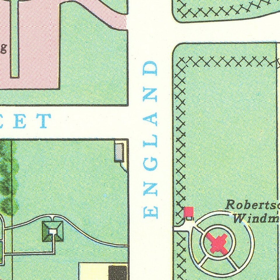
Lively pictorial map of Williamsburg, illustrating the town following its restoration "through the generosity of . . . John D. Rockefeller, Jr. and members of his family."

The main map provides a fine overview of the town, with buildings named.


Special conditions for students!

If you are a student, write to us in telegram: @antiquemaps and indicate what material you need and for what work you need a map in high detail. We are ready to provide material on special terms. For students only!

Item information:

Year of creation:
Size:
14439x11529 px
Disk:
45.5823MiB
Number of pages:
1
Place:
Williamsburg, VA
Author:
Anonymous.
$14.99

Related item