Map size in jpg-format: 25.4483MiB
Click to open in high resolution (open in new tab).
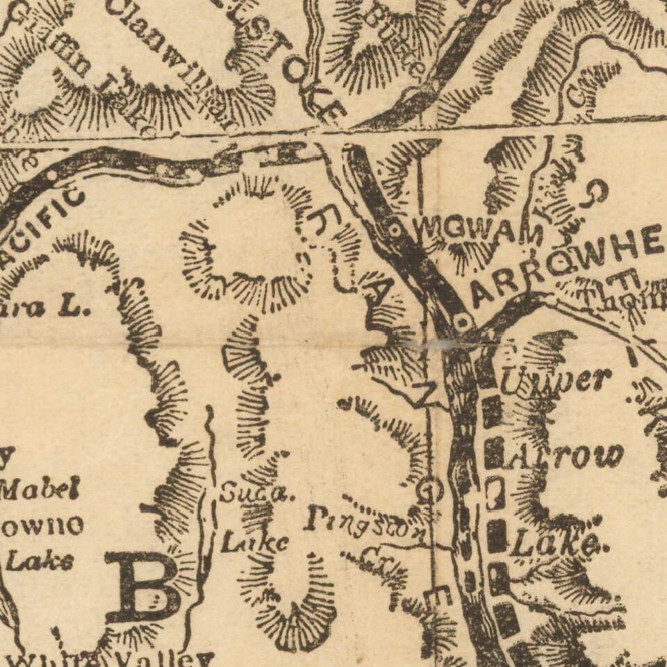
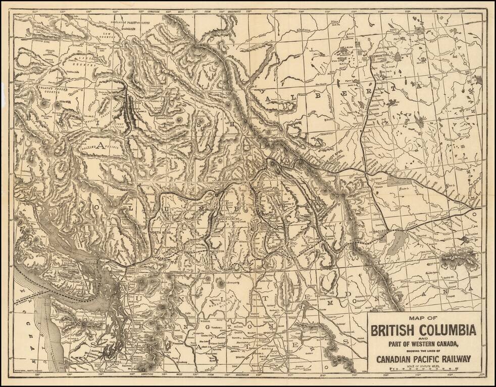
Rare map of the Canadian Pacific Railway, tracking the route of the lines between Medicine Hat and Dunimore to New Westminster and Vancouver.
The map shows the region from Vancouver Island East to the Alberta-Saskatchewan border. Also includes some of the Northern United States.
While the focal point of the map is on the developing Rail lines, the topographical detail is quite impressive, along with the location of many early roads.
The Canadian Pacific Railway (CPR) is was incorporated in 1881.
The railway was originally built between Eastern Canada and British Columbia between 1881 and 1885 (connecting with Ottawa Valley and Georgian Bay area lines built earlier), fulfilling a promise extended to British Columbia when it entered Confederation in 1871. It was Canada's first transcontinental railway, but no longer reaches the Atlantic coast. Primarily a freight railway, the CPR was for decades the only practical means of long-distance passenger transport in most regions of Canada, and was instrumental in the settlement and development of Western Canada.
Rarity
The map is very rare on the market. This is the first example we have ever seen.
If you are a student, write to us in telegram: @antiquemaps and indicate what material you need and for what work you need a map in high detail. We are ready to provide material on special terms. For students only!
![[The First Maps in a la poupée Printed Color] Cartes en Couleur des Lieux Sujets aux tremblements de Terre Dans toutes les parties du Monde Selon le Sisteme de l’impulsion Solaire](/map/small/52293op.jpg)

