Map size in jpg-format: 1486350B
Click to open in high resolution (open in new tab).
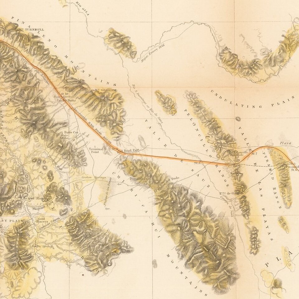
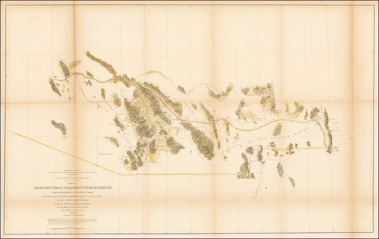
U.S. Mexican Boundary Commission map of Arizona and New Mexico's border with Mexico.
Hand-colored lithographed folding map of the southern part of modern-day Arizona and New Mexico, by one of the great cartographers of the Southwest, John G. Parke.
The map was completed under the direction of Jefferson Davis, then Secretary of War. In that role, Jefferson Davis oversaw many of the most important antebellum Western surveys.
Considerable information is taken from the Emory map, as noted in the description.
If you are a student, write to us in telegram: @antiquemaps and indicate what material you need and for what work you need a map in high detail. We are ready to provide material on special terms. For students only!
![Carte Du Mexique et de la Floride des Terres Angloises et des Isles Antilles du Cours et des Environs de la Riviere Mississipi . . . Rue Des Canettes . . . 1703 [1st State]](/map/small/66307op.jpg)