Map size in jpg-format: 74.519MiB
Click to open in high resolution (open in new tab).
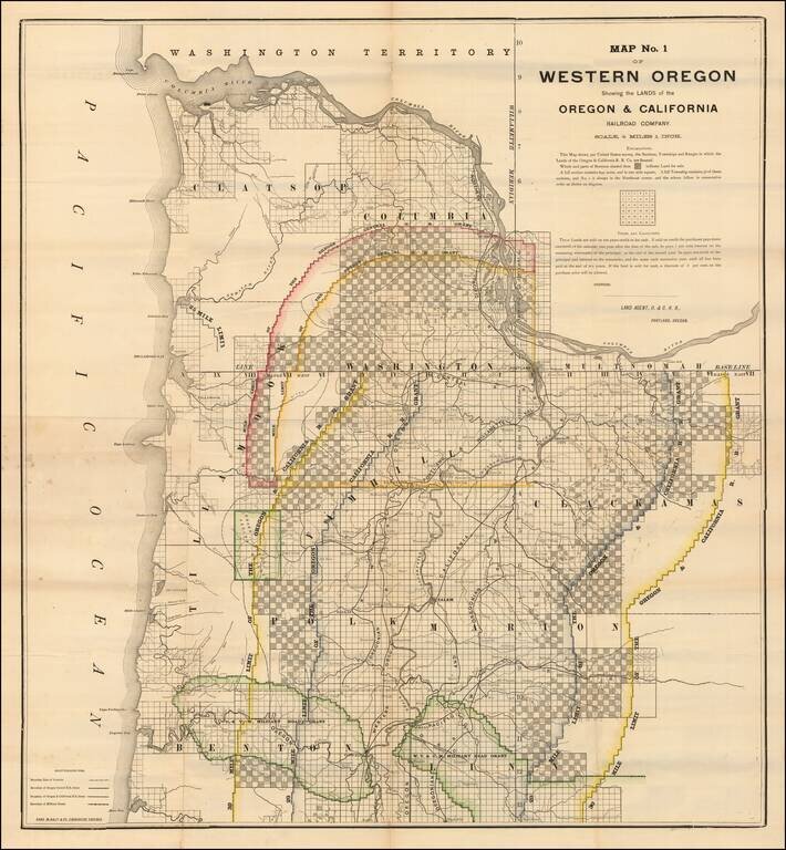
Lands Granted to the Oregon & California Railroad
Rare separately published map of northwestern Oregon, printed by Rand McNally & Co. for the Oregon & California Railroad Company.
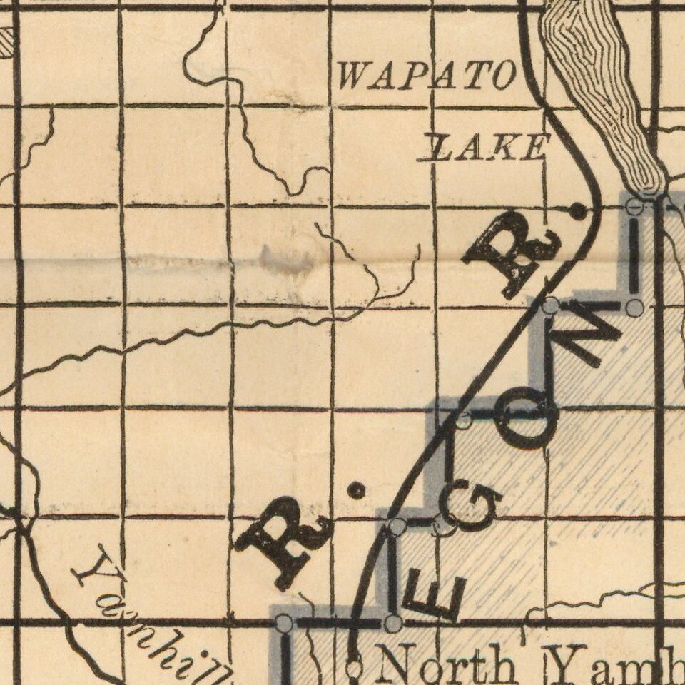
The map extends from the Columbia River to Yaquina Bay and Corvallis in the South. The map shows the coastal region and mountain range between Astoria and Sweet Home. The map also shows thirty and twenty mile limit for the Oregon and California Railroad grant, and also the military road grants for Willamette Valley and Cascade Mountains, and Corvallis and Yaquina Bay.
The Oregon & California Railroad Company
The Oregon and California Railroad was formed from the Oregon Central Railroad. The Oregon Central Rail Road was the name of two railroad companies, each of which claimed federal land grants that had been assigned to the state of Oregon in 1866 to assist in building a line from Portland south into California. The "East Side Company" of Salem (incorporated 1867), supported by businessman Ben Holladay, eventually received the grant for its line east of the Willamette River, and was reorganized in 1870 as the Oregon and California Railroad (O&C), which completed the line in 1887. The City of Portland supported the competing "West Side Company" (incorporated 1866), which only built to McMinnville, and was sold to the O&C in 1880.
In 1887, the line was completed over Siskiyou Summit and the Southern Pacific Railroad assumed control of the railroad. However, it was not officially sold to Southern Pacific until January 3, 1927.
Rarity
The map is very rare on the market. OCLC locates 2 examples (Oregon Historical Society and University of Oregon).
We previously offered an example for sale in 2016.
If you are a student, write to us in telegram: @antiquemaps and indicate what material you need and for what work you need a map in high detail. We are ready to provide material on special terms. For students only!