Map size in jpg-format: 735939B
Click to open in high resolution (open in new tab).
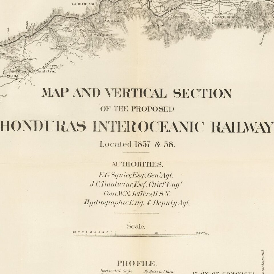
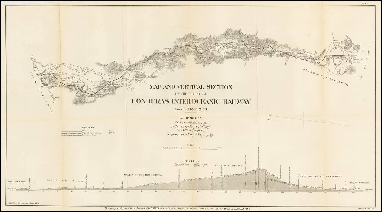
Detailed map of a portion of Honduras, showing the prospective route of a rail line from the Atlantic to the Pacific Ocean.
The line extends from the Bay of Fonseca to the Bay of Honduras, showing:
Also includes profile views of potential canal sites.
If you are a student, write to us in telegram: @antiquemaps and indicate what material you need and for what work you need a map in high detail. We are ready to provide material on special terms. For students only!

![[Blaeu Atlas of America] America, Quae Est Geographiae Blavianae Pars Quinta Liber Unus Volumen Undecimum](/map/small/66852.jpg)
