Map size in jpg-format: 43.0864MiB
Click to open in high resolution (open in new tab).

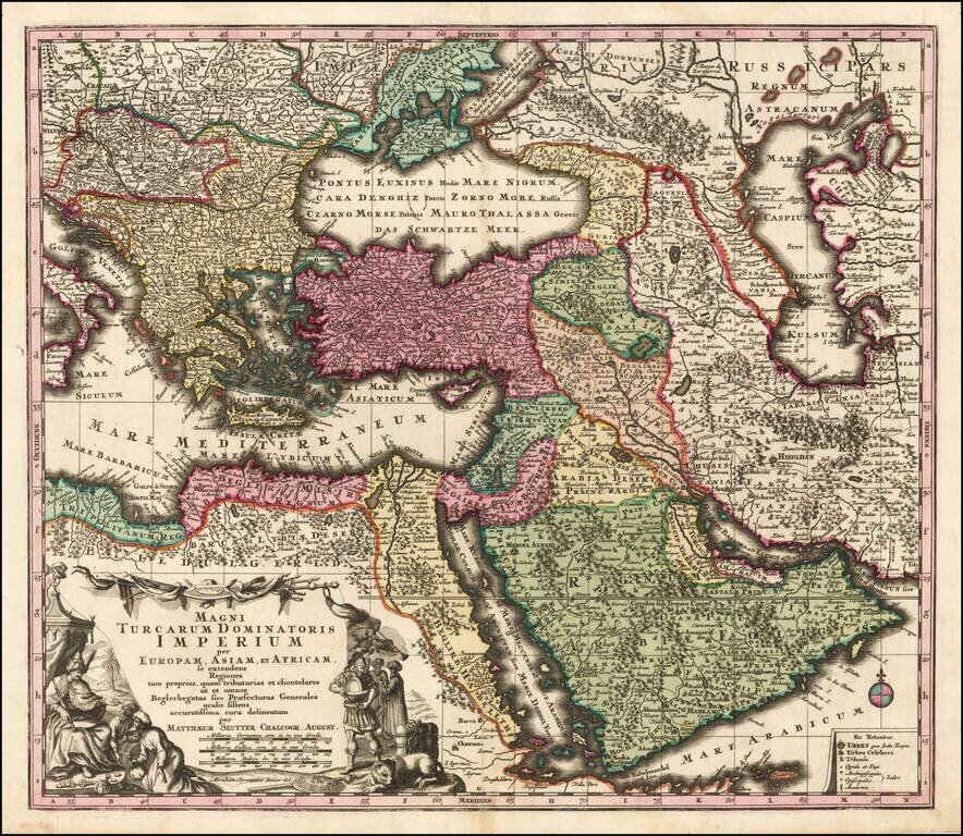
Striking hand-colored engraved regional map, centered on Turkey and Asia Minor, and showing the Eastern Mediterranean, Balkans, Greece, Persia, Saudi Arabia, the Black Sea and the Caspian Sea, published by Seutter.
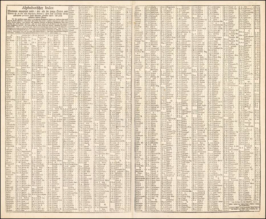
Includes decorative cartouche and extra text sheet, locating hundreds of places on the map.
Matthäus Seutter (1678-1757) was a prominent German mapmaker in the mid-eighteenth century. Initially apprenticed to a brewer, he trained as an engraver under Johann Baptist Homann in Nuremburg before setting up shop in his native Augsburg. In 1727 he was granted the title Imperial Geographer. His most famous work is Atlas Novus Sive Tabulae Geographicae, published in two volumes ca. 1730, although the majority of his maps are based on earlier work by other cartographers like the Homanns, Delisles, and de Fer.
Alternative spellings: Matthias Seutter, Mathaus Seutter, Matthaeus Seutter, Mattheus Seutter
If you are a student, write to us in telegram: @antiquemaps and indicate what material you need and for what work you need a map in high detail. We are ready to provide material on special terms. For students only!
![[Facsimile - 15th Century Portolan Sea Chart] Portolan des Iehuda ben Zara](/map/small/64285.jpg)