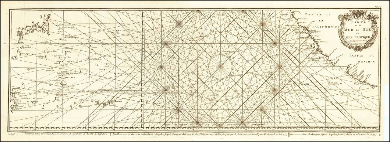
![[Lower California]](/map/small/25667.jpg)
Map size in jpg-format: 921012B
Click to open in high resolution (open in new tab).
![[Lower California]](/prevmap/prev_25667/25667.jpg)
Early map of Baja California, printed in connection with an early Government exploration of the region.
If you are a student, write to us in telegram: @antiquemaps and indicate what material you need and for what work you need a map in high detail. We are ready to provide material on special terms. For students only!