Map size in jpg-format: 5.63526MiB
Click to open in high resolution (open in new tab).
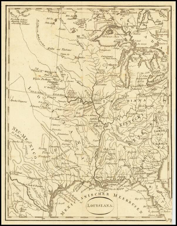
An Early Louisiana Purchase Map
Extremely rare little map centered on the Mississippi, apparently based upon the map used to illustrate Berquin-Duvallon's Vue de la Colonie Espagnole du Mississippi, ou des Provinces de Louisiane et Floride Occidentale, en l'annee 1802 …
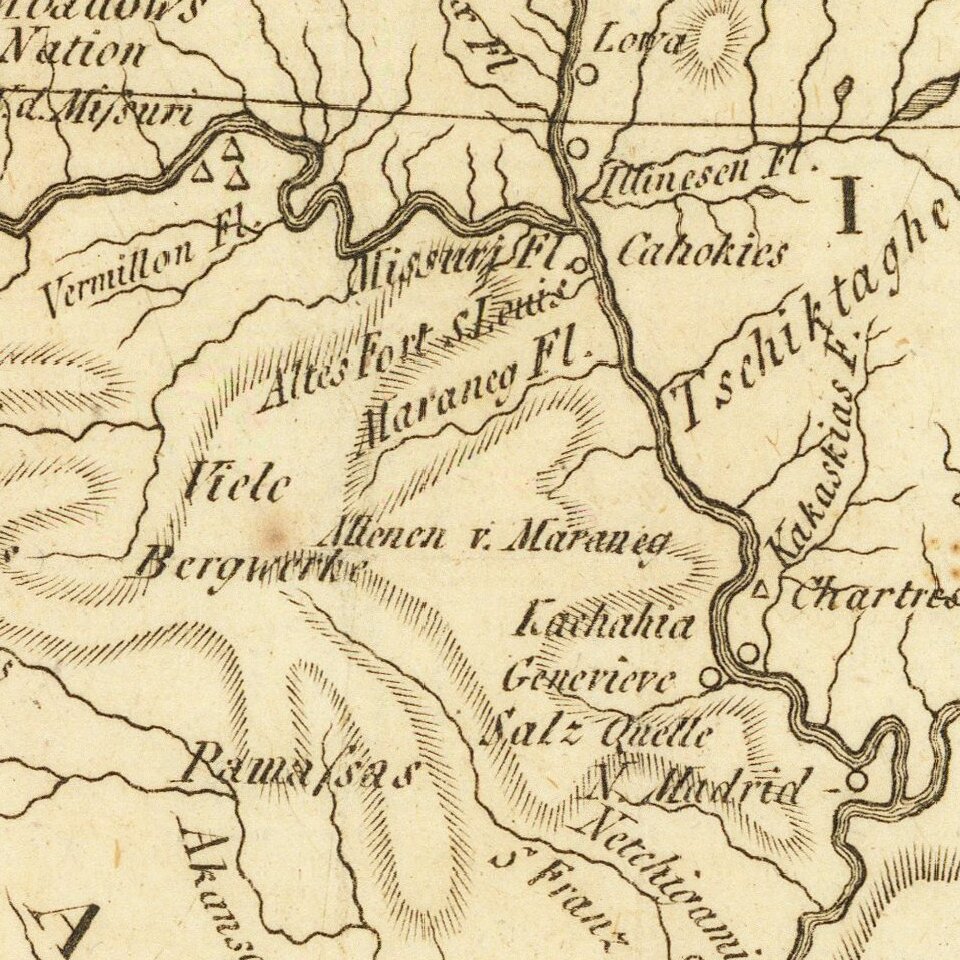
The map includes an excellent treatment of Texas and the Mississippi and Missouri River Valleys and includes the route from the Mississippi River to Texas through S. Antonio and S. Juan de Baptista. Many Indian villages located in Texas, Arkansas and Missouri, along with early western forts.
An excellent Louisiana Territory and early Texas map.
If you are a student, write to us in telegram: @antiquemaps and indicate what material you need and for what work you need a map in high detail. We are ready to provide material on special terms. For students only!


