Map size in jpg-format: 60.5902MiB
Click to open in high resolution (open in new tab).
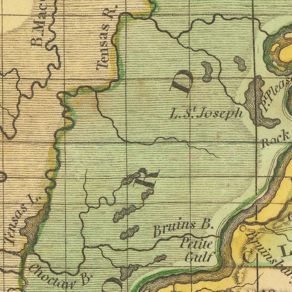
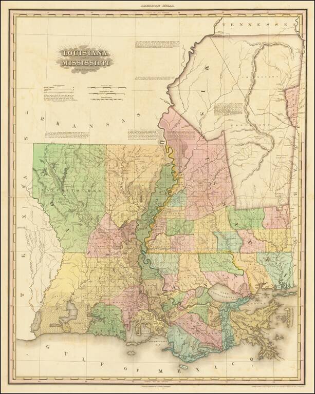
First Appearance of Cherokee Boundary and Choctaw Boundary
Fine example of this early state Henry Schenk Tanner's spectacular map of Louisiana and Mississippi.
Drawn from Darby's remarkable map of the region and other contemporary sources, the map was the best widely published map of the region published in the early 1820s. The map is extensively annotated with specific observations regarding the regions shown.
The map was originally published in Tanner's New American Atlas, this map was periodically revised and re-issued, although these later editions are very rare on the market.
The present example retains the 1820 date, but adds a number of important early features:
Mississippi Updates
Louisiana Updates
An essential map for Louisiana and Mississippi Collectors.
If you are a student, write to us in telegram: @antiquemaps and indicate what material you need and for what work you need a map in high detail. We are ready to provide material on special terms. For students only!


