Map size in jpg-format: 61.8785MiB
Click to open in high resolution (open in new tab).
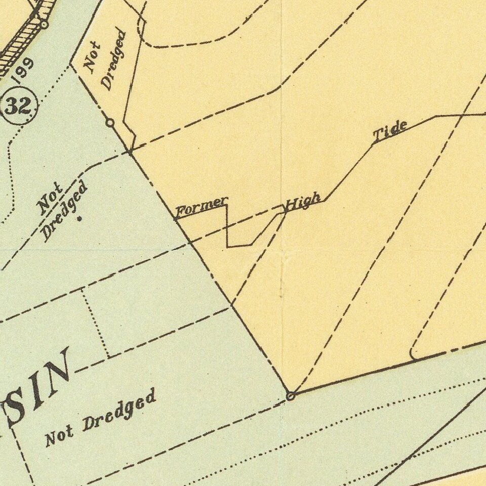
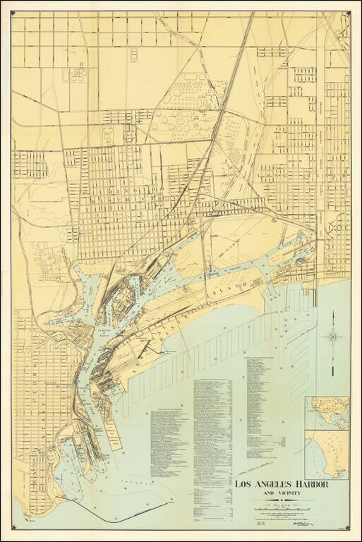
Highly detailed map of Los Angeles Harbor, first published by the Harbor Department in 1919 and periodically revised thereafter.
The map includes a detailed plans for the Wilmington District, Long Beach and San Pedro District, along with excellent details for Terminal Islands and the various Channels and Shipping Basins. The locations of a number of commercial businesses on the waterfront are also shown, along carriers and marine services organized by categories
Shows the shipping channels, US Immigration and Quarantine Station. Fish Harbor, Terminal Island, etc.
Further to the north, the tank farms for the Texas Company, Pan American Petoleum Company, Union Oil Company of California, Shell Company of California, Associated Company, General Petroleum Corporation, and Olympic Refining Company, along with the Proposed Railroad Yard for Los Angeles & Long Beach.
The map is very scarce. This is the first example of this enlarged version we have ever seen.
If you are a student, write to us in telegram: @antiquemaps and indicate what material you need and for what work you need a map in high detail. We are ready to provide material on special terms. For students only!