Map size in jpg-format: 30.7483MiB
Click to open in high resolution (open in new tab).
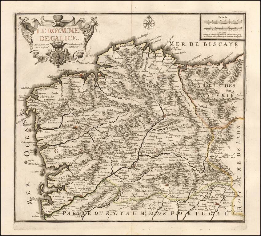
Scarce map of Galicia, published by Nicolas de Fer in Paris.
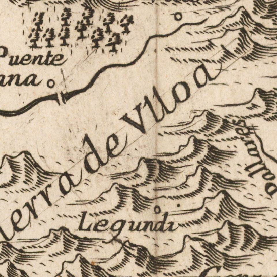
De Fer's map is marvelously engraved in the style unique to De Fer, with excellent emphasis on the topographical details of Galicia, especially the depiction of the mountains in the region. Includes a decorative cartouche and coat of arms.
Nicolas de Fer (1646-1720) was the youngest son of Parisian print and map seller, Antoine de Fer [d.1673]. He became an official geographer to both French and Spanish kings. Nicholas de Fer was one of the most prolific and influential French geographers and cartographers of the late 17th and early 18th Century. The present example was issued by Charles-Louis Desnos, the successor to De Fer.
The second time we have handled this map in 20 years of business.
Nicholas de Fer (1646-1720) was the son of a map seller, Antoine de Fer, and grew to be one of the most well-known mapmakers in France in the seventeenth century. He was apprenticed at twelve years old to Louis Spirinx, an engraver. When his father died in 1673, Nicholas helped his mother run the business until 1687, when he became the sole proprietor.
His earliest known work is a map of the Canal of Languedoc in 1669, while some of his earliest engravings are in the revised edition of Methode pour Apprendre Facilement la Geographie (1685). In 1697, he published his first world atlas. Perhaps his most famous map is his wall map of America, published in 1698, with its celebrated beaver scene (engraved by Hendrick van Loon, designed by Nicolas Guerard). After his death in 1720, the business passed to his sons-in-law, Guillaume Danet and Jacques-Francois Benard.
If you are a student, write to us in telegram: @antiquemaps and indicate what material you need and for what work you need a map in high detail. We are ready to provide material on special terms. For students only!
![(Pro-Spanish Republic Political Broadside) [Lift The Embargo Against The Spanish Republic] President Roosevelt says . . .](/map/small/50218.jpg)

