Map size in jpg-format: 52.5498MiB
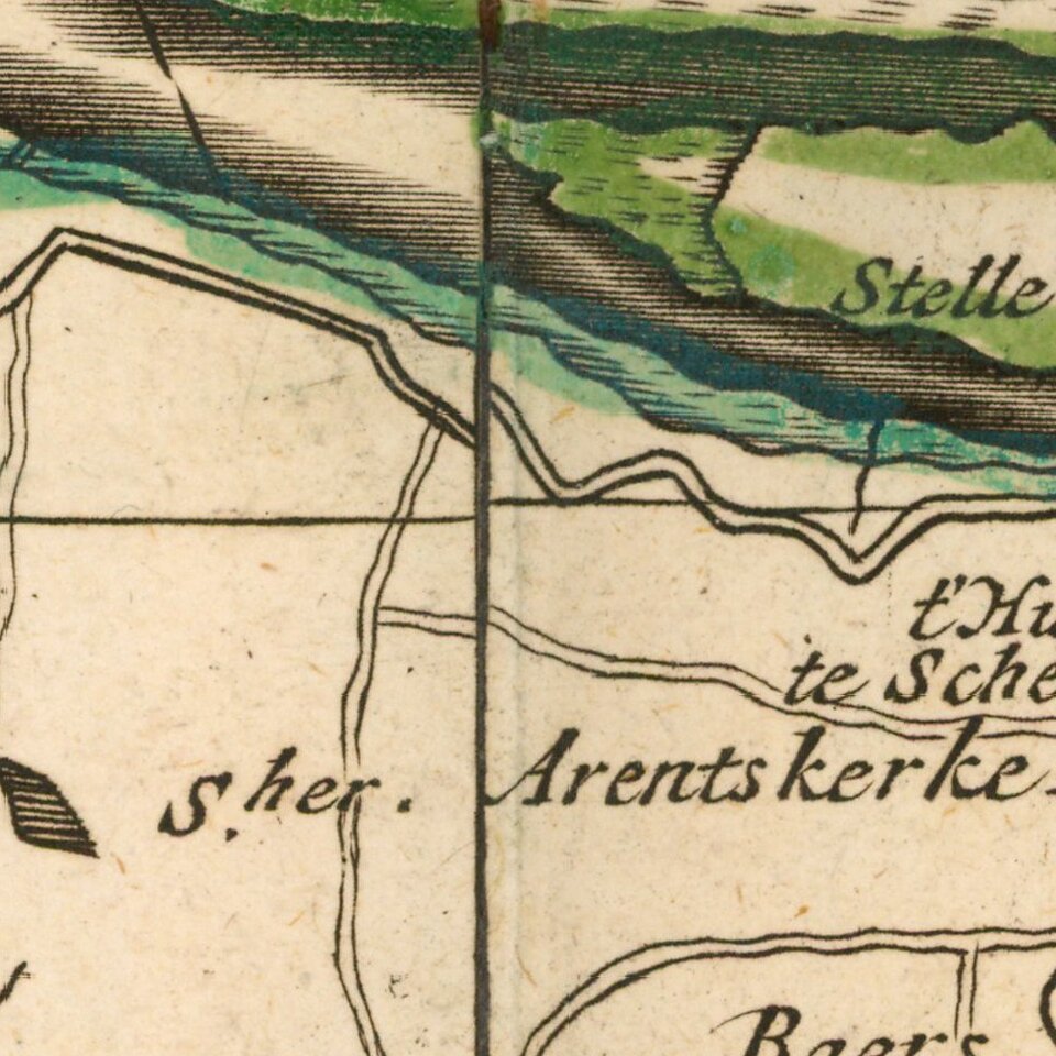
Click to open in high resolution (open in new tab).
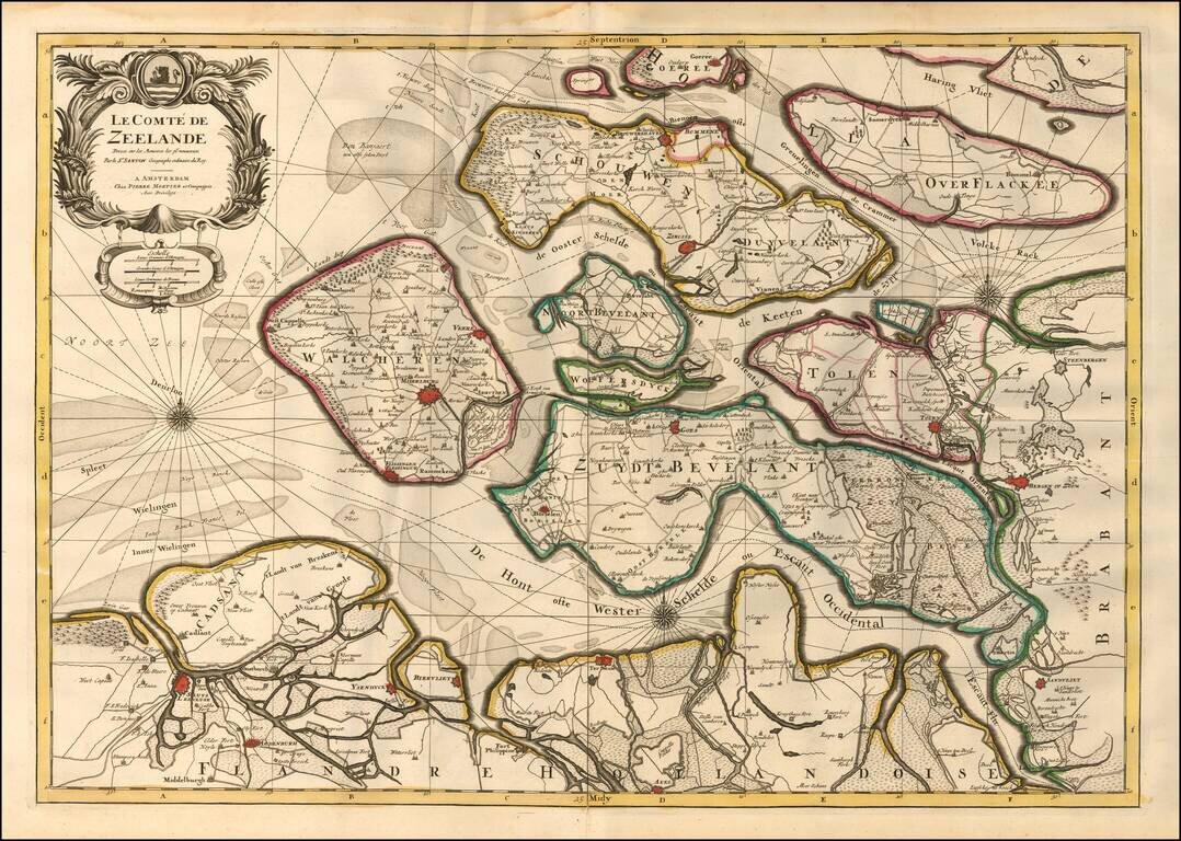
A finely detailed map of Zeeland, published in Amsterdam, circa 1700.
The map outlines the islands and municipalities of Walcheren, Schouwen-Duiveland, Noord-Beveland, Wolfersdyck, Zuid-Beveland, Goeree-Overflakkee, Tholen, Cadzand, etc. Main cities and towns are highlighted in red including Middelburg, Veere, Goes, Zierikzee, Vlissingen, Brouwershaven, Bergen op Zoom, Tholen, etc.
The map features many topographical features such as lakes, waterways, mountains, hills, pathways, and canals.
A decorative title cartouche, scale of miles, and three compass roses are engraved on the map.
Pierre, or Pieter, Mortier (1661-1711) was a Dutch engraver, son of a French refugee. He was born in Leiden. In 1690 he was granted a privilege to publish French maps in Dutch lands. In 1693 he released the first and accompanying volume of the Neptune Francois. The third followed in 1700. His son, Cornelis (1699-1783), would partner with Johannes Covens I, creating one of the most important map publishing companies of the eighteenth century.
If you are a student, write to us in telegram: @antiquemaps and indicate what material you need and for what work you need a map in high detail. We are ready to provide material on special terms. For students only!


