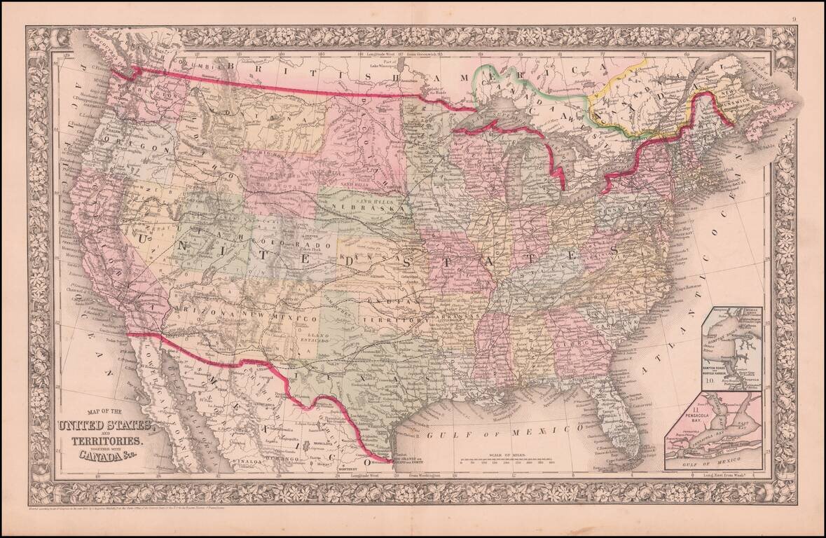
Map size in jpg-format: 35.1838MiB
Click to open in high resolution (open in new tab).
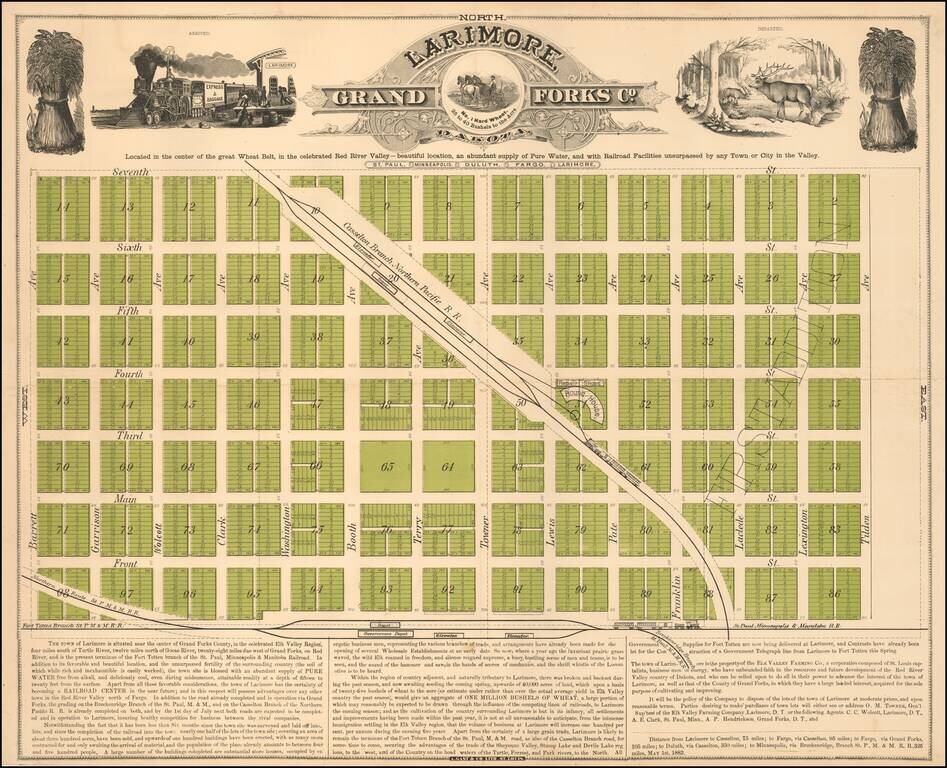
Located in the center of the great Wheat Belt
Early promotional map of Larimore, North Dakota, printed in St. Louis by Augustus Gast & Co. in 1882.
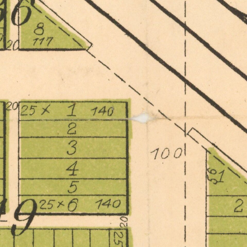
The map extolls the virtues of the newly created and fast growing town, which after just six months since its first survey "nearly one half of the lots of the townsite . . . have been sold, and upwards of one hundred buildings have been erected . . . and already between four and five hundred people."
Established in the Red River Valley country of Dakota Territory by the Elk Valley Farming Co. of St. Louis, Larimore was established in 1881, promoted as the terminus of the Fort Totten Branch of the St. Paul, Minneapolis & Manitoba Railroad. It was also on the Casselton Branch of the Northern Pacific Railroad.
Larimore was named for N. G. Larimore, who owned a large farm in the area.
Larimore is the subject of one of the great ethnic broadsides of the period, entitled "Larimore! The Greatest Railroad Center of Northern Dakota! "
If you are a student, write to us in telegram: @antiquemaps and indicate what material you need and for what work you need a map in high detail. We are ready to provide material on special terms. For students only!