Map size in jpg-format: 2.17761MiB
Click to open in high resolution (open in new tab).
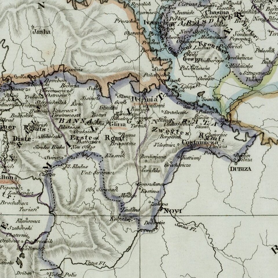
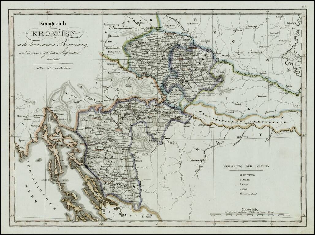
Rare regional map of the Kingdom of Croatia and neighboring regions, published in Vienna at the begnning of the 19th Century.
One of the few regional maps of the period to focus on this region.
If you are a student, write to us in telegram: @antiquemaps and indicate what material you need and for what work you need a map in high detail. We are ready to provide material on special terms. For students only!