logo

1900. Kiessling's Grosse Special-Karte der Umgegend von Berlin . . .

  • Kiessling's Grosse Special-Karte der Umgegend von Berlin . . .

Kiessling's Grosse Special-Karte der Umgegend von Berlin . . . information:

Year of creation: 
Resolution size (pixels): 
 3819x3022 px
Disk Size: 
 4.90787MiB
Number of pages: 
 1
Place: 
 Berlin
Author: 

Print information. Print size (Width x height in inches):
Printing at 72 dpi 
  53.04 х 41.97
Printing at 150 dpi 
 25.46 х 20.15
Printing at 300 dpi 
 12.73 х 10.07

An example of detailing the file of this map of in a printable high-resolution:

Click to open in high resolution (open in new tab).
Attention! this is just the central piece (central area 960x960 px) of the map file!
This is an example, so that you can see and study the level of detail of a given map. The entire Map will be fully available after payment!

Kiessling's Grosse Special-Karte der Umgegend von Berlin . . .

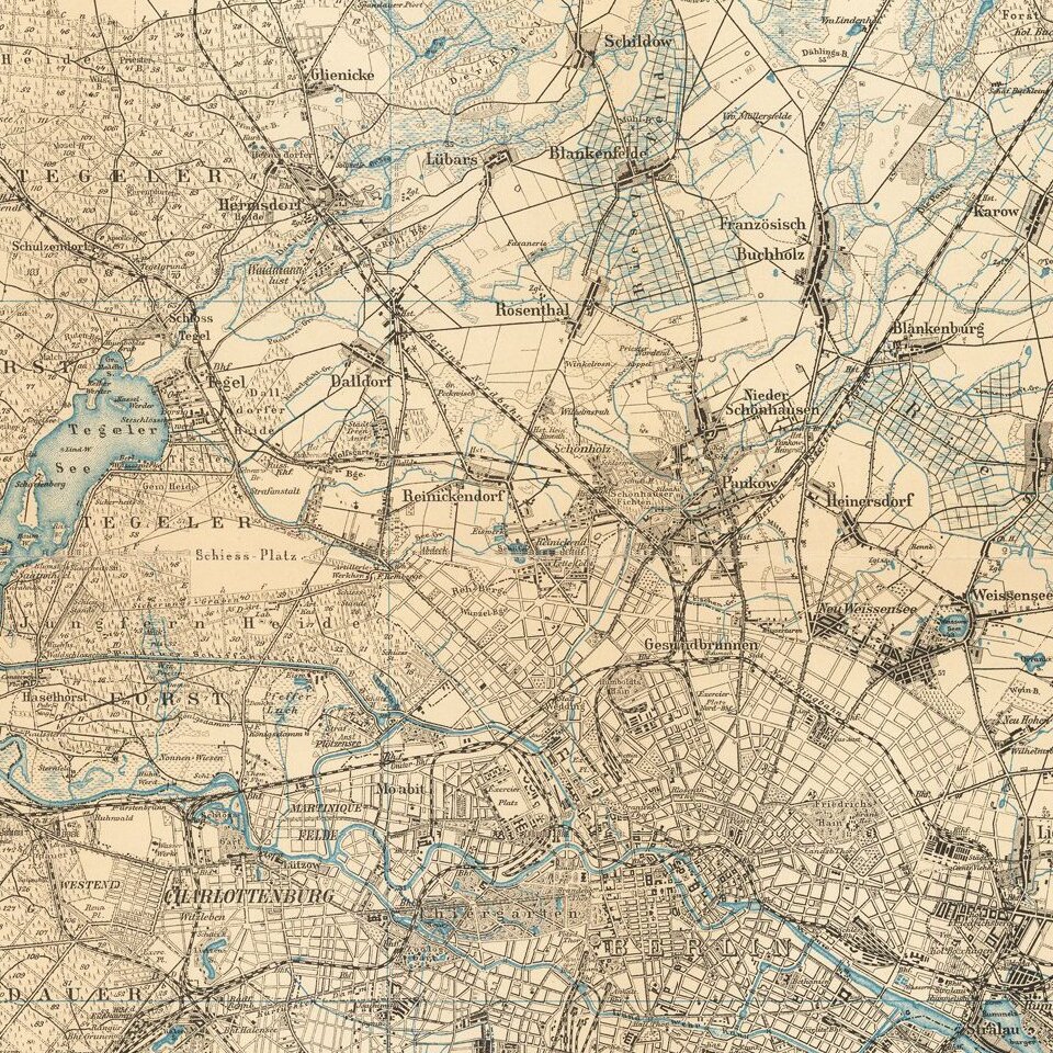
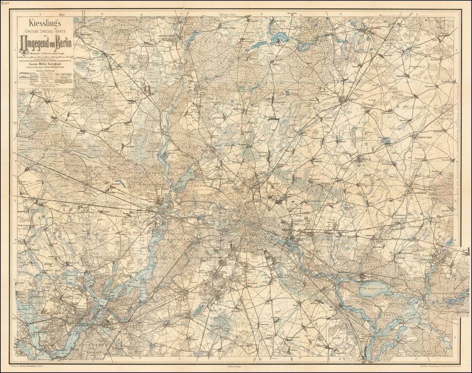
Detailed map of the area around Berlin.

The map extends to Potsdam, Cremmen, Oranienburg, Biesenthal, Werneuchen, Rudersdorfer-Forst, Waltersdorf, and Teltow.


Special conditions for students!

If you are a student, write to us in telegram: @antiquemaps and indicate what material you need and for what work you need a map in high detail. We are ready to provide material on special terms. For students only!

Item information:

Year of creation:
Size:
3819x3022 px
Disk:
4.90787MiB
Number of pages:
1
Place:
Berlin
Author:
Alexius Kiessling.
$14.99

Related item