Map size in jpg-format: 25.6907MiB
Click to open in high resolution (open in new tab).
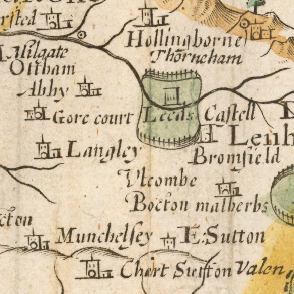
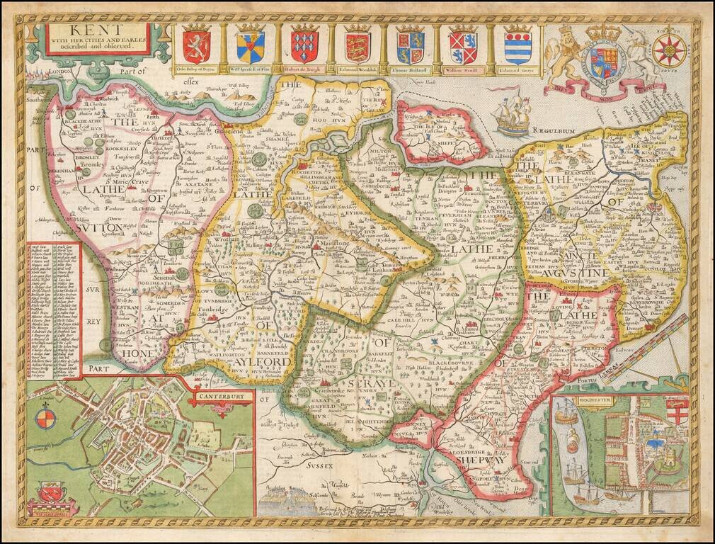
Decorative map of Kent based on the work of Philip Symonson, from Speed's Atlas.
Insets of the cathedral cities of Canterbury and Rochester, and seven coats of arms.
Due to Kent's extensive coastline, and proximity to France and the Netherlands, it had unrivaled advantages for trade, thus making its defense of great importance. Dover Castle had long been at the center of the defenses, but most other castles in Kent were made redundant when a series of modern artillery forts like Deal and Walmer were constructed in the 1540's by Henry VIII. The adoption of other fleet-anchorages along the Thames and the Medway, and the establishment of dockyards at Deptford and Woolwich by Henry VIII, and at Chatham by Elizabeth I, turned Kent into the best-defended area in the kingdom throughout the Tudor and early Stuart periods.
John Speed (1551 or '52 - 28 July 1629) was the best known English mapmaker of the Stuart period. Speed came to mapmaking late in life, producing his first maps in the 1590s and entering the trade in earnest when he was almost 60 years old.
John Speed's fame, which continues to this day, lies with two atlases, The Theatre of the Empire of Great Britaine (first published 1612), and the Prospect of the Most Famous Parts of the World (1627). While The Theatre ... started as solely a county atlas, it grew into an impressive world atlas with the inclusion of the Prospect in 1627. The plates for the atlas passed through many hands in the 17th century, and the book finally reached its apotheosis in 1676 when it was published by Thomas Bassett and Richard Chiswell, with a number of important maps added for the first time.
If you are a student, write to us in telegram: @antiquemaps and indicate what material you need and for what work you need a map in high detail. We are ready to provide material on special terms. For students only!