Map size in jpg-format: 45.3036MiB
Click to open in high resolution (open in new tab).
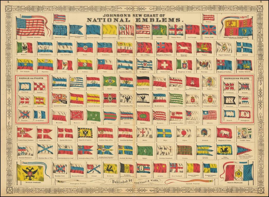
Decorative chart of all flags and pennants of the various nations, along with signal maps and other novelties.
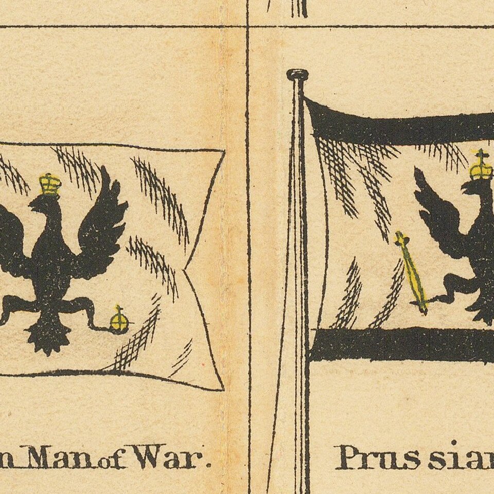
Highly decorative and colorful with decorative border. Includes a number of mid-19th century novelties, including the American Jack, Commodore's Pennant, Admiral, Quarantine and Customs, the East India Company, Papal Standard, Kingdom of Venice, Isle of Man, San Salvador, Hanover, Konigsberg, Tuscany, Ionian Islands, several Prussian maps, Rostock, Batavia, Cochin China, Siam, etc.
Benjamin P. Ward was an American publisher. He was best known for his partnership with A. J. Johnson. In 1860, the Johnson firm published its first significant work, the Johnson’s New Illustrated (Steel Plate) Family Atlas. The first edition of the Atlas bears imprints in both New York and Richmond, VA. In 1861, however, following the outbreak of the American Civil War, the Johnson & Browning firm abandoned their Richmond location. Browning seems to have remained in Virginia to pursue other ventures and, in 1861, Browning’s portion of the firm was purchased by Ward. The 1863 issue of the Atlas was one of the most unusual, it being a compilation of older Johnson and Browning maps, updated 1862 Johnson and Ward maps, and newer 1863 maps with a revised border design. The 1864 issue of the Atlas is the first true Johnson and Ward atlas. Johnson published one more edition in partnership with Ward in 1865, after which Johnson becomes the sole publisher.
If you are a student, write to us in telegram: @antiquemaps and indicate what material you need and for what work you need a map in high detail. We are ready to provide material on special terms. For students only!


