
Map size in jpg-format: 22.409MiB
Click to open in high resolution (open in new tab).
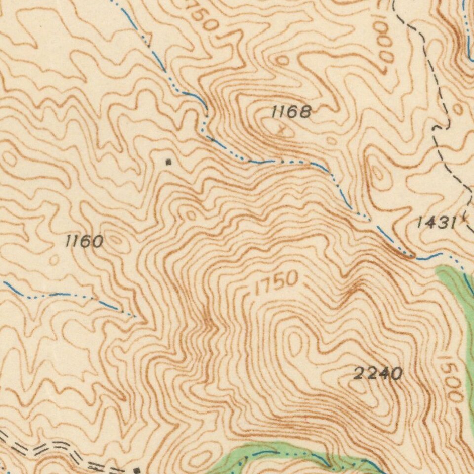
Detailed geological survey map from the WW II Period, centered on Lower Otay Reservoir, Jamul, Proctor Valley and the Jamul Mountains.
Extends from Sweetwater Reservoir and Spring Valley in the Northwest to Lawson Valley, Mellor Ranch and Lyons Peak in the Northeast, the San Ysidro Mountains in the southeastg and Otay Mesa in the Southwest.
If you are a student, write to us in telegram: @antiquemaps and indicate what material you need and for what work you need a map in high detail. We are ready to provide material on special terms. For students only!


