Map size in jpg-format: 794644B
Click to open in high resolution (open in new tab).

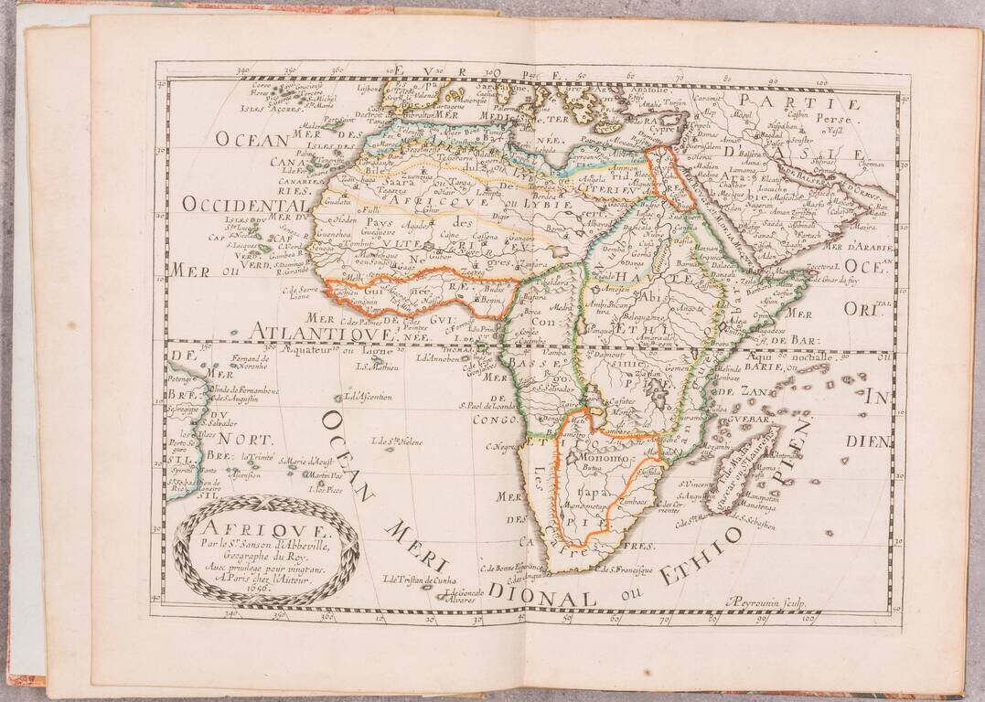
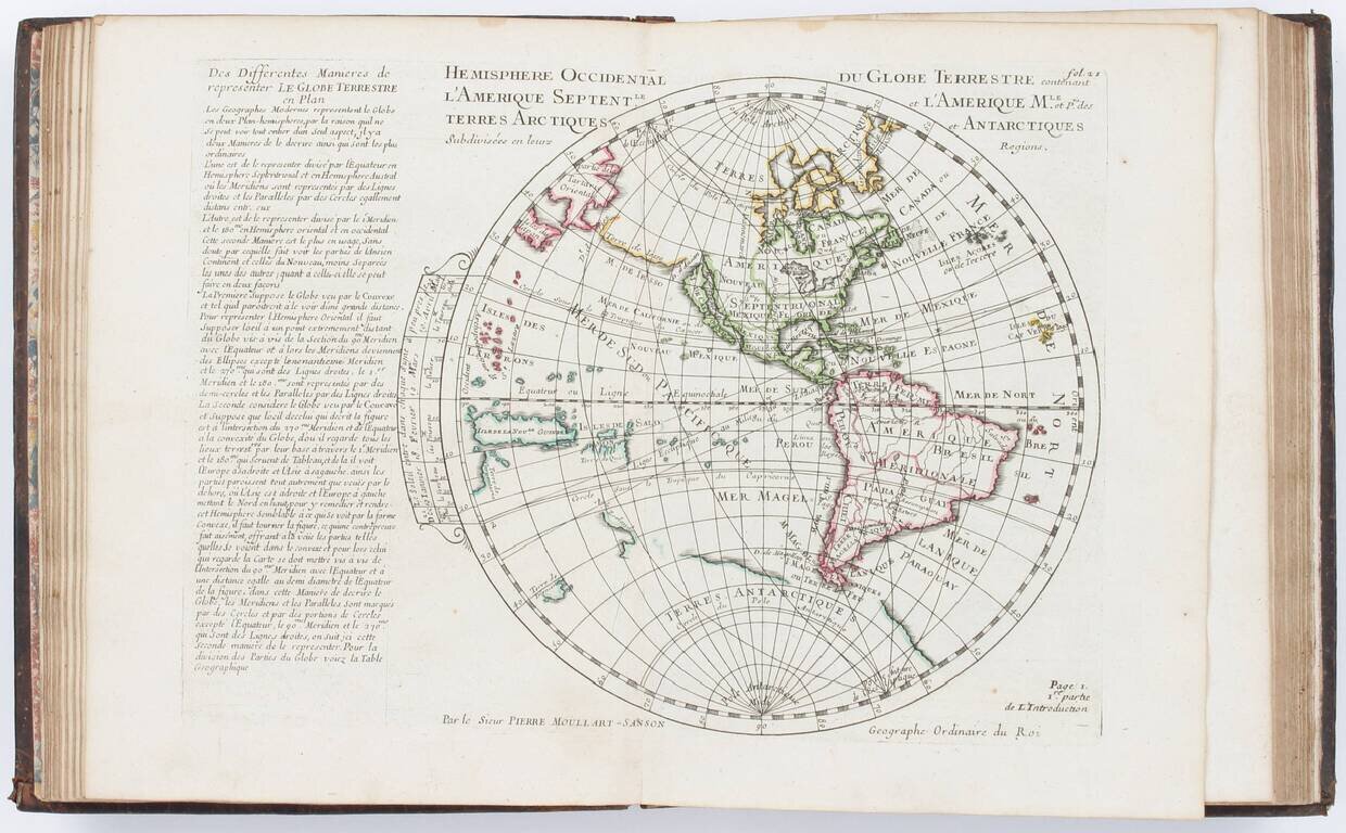
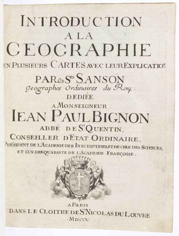
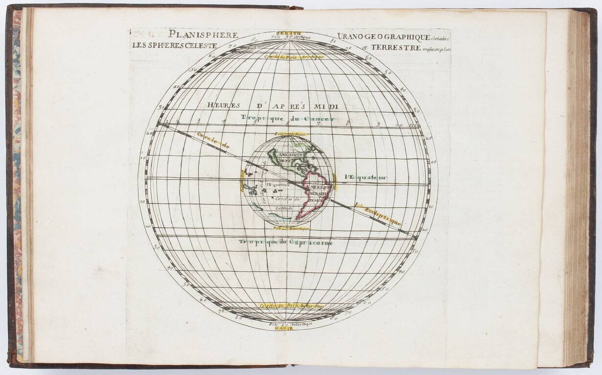
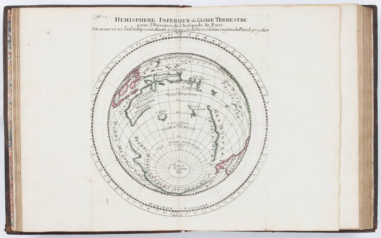
Moullart-Sanson's Very Rare Elementary Atlas with Many Maps of the World, Its Hemispheres, Poles, Etc. in Different Projections.
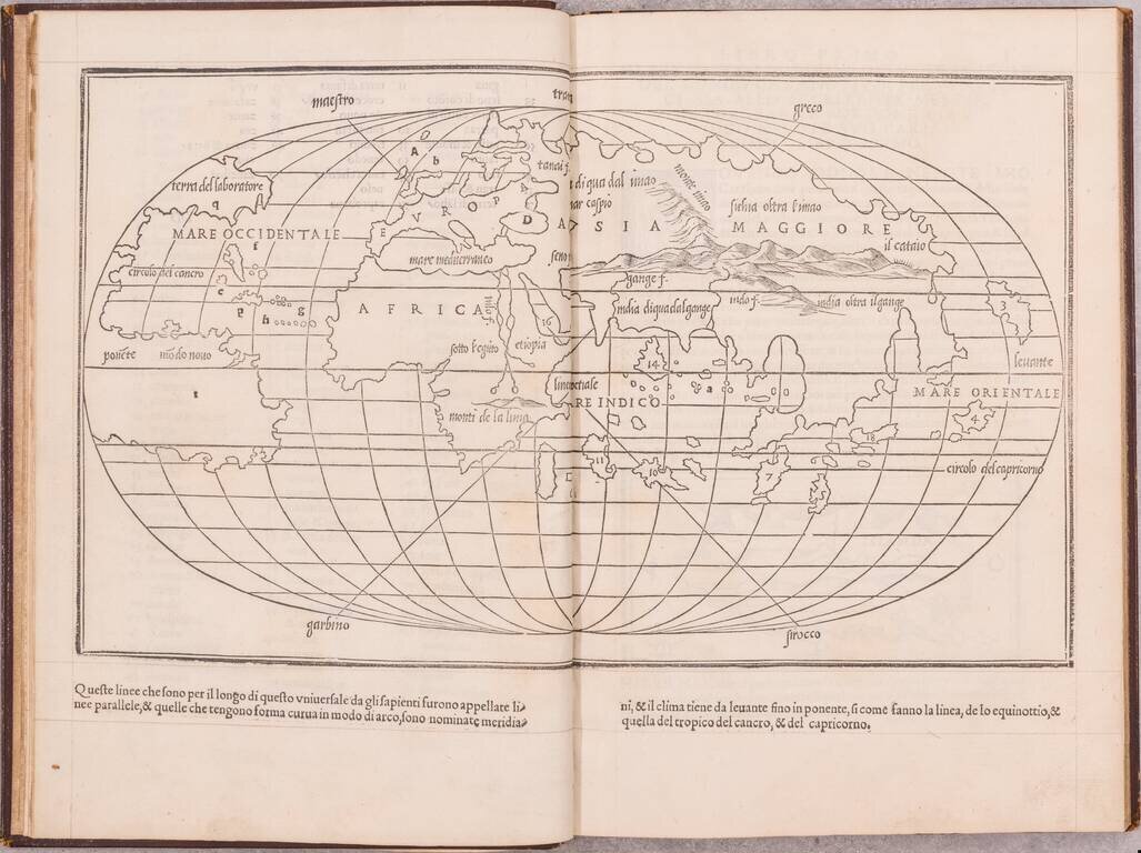
Quarto (10 x 7.75 inches). Contemporary calf, spine richly gilt (somewhat rubbed and worn, head of spine chipped, rear joint partly split). Engraved title and 25 double-page engraved maps colored in outline.
Pierre Moullart-Sanson, the nephew of Guillaume Sanson, expanded on the work of his uncle.
The maps are dated 1696-1704. The world maps depict California as an island (see McLaughlin 125-126) and Australia.
Though very rare, this work appeared in multiple editions. A fixed set of collations has not been established, but completeness can be assumed, as this copy matches that in the Bibliotheca Angelica, Rome.
If you are a student, write to us in telegram: @antiquemaps and indicate what material you need and for what work you need a map in high detail. We are ready to provide material on special terms. For students only!
![[Blaeu Atlas of America] America, Quae Est Geographiae Blavianae Pars Quinta Liber Unus Volumen Undecimum](/map/small/66852.jpg)