logo

1843. Iles Britanniques. 1843. S. Estienne.

  • Iles Britanniques.  1843. S. Estienne.

Iles Britanniques. 1843. S. Estienne. information:

Year of creation: 
Resolution size (pixels): 
 7817x8132 px
Disk Size: 
 15676600B
Number of pages: 
 1
Place: 
 n.p.
Author: 

Print information. Print size (Width x height in inches):
Printing at 72 dpi 
  108.57 х 112.94
Printing at 150 dpi 
 52.11 х 54.21
Printing at 300 dpi 
 26.06 х 27.11

An example of detailing the file of this map of in a printable high-resolution:

Click to open in high resolution (open in new tab).
Attention! this is just the central piece (central area 960x960 px) of the map file!
This is an example, so that you can see and study the level of detail of a given map. The entire Map will be fully available after payment!

Iles Britanniques.  1843. S. Estienne.

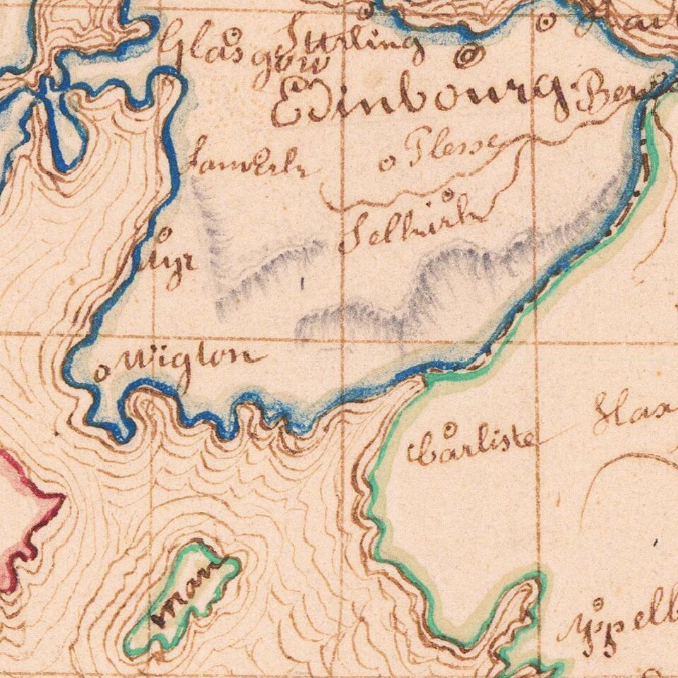
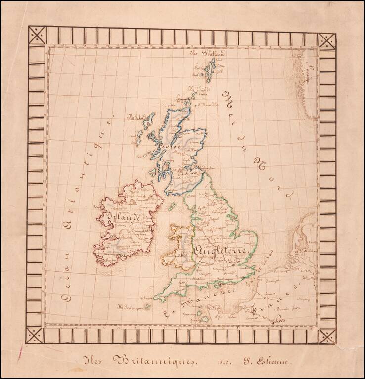
Finely executed hand drawn map of the British Isles by S(?) Estienne.

The map was likely drawn by a school-aged child and is well executed for the period. The decorative border is unsual for a school project map.


Special conditions for students!

If you are a student, write to us in telegram: @antiquemaps and indicate what material you need and for what work you need a map in high detail. We are ready to provide material on special terms. For students only!

Item information:

Year of creation:
Size:
7817x8132 px
Disk:
15676600B
Number of pages:
1
Place:
n.p.
Author:
Anonymous.
$14.99

Related item