
Map size in jpg-format: 43.4406MiB
Click to open in high resolution (open in new tab).
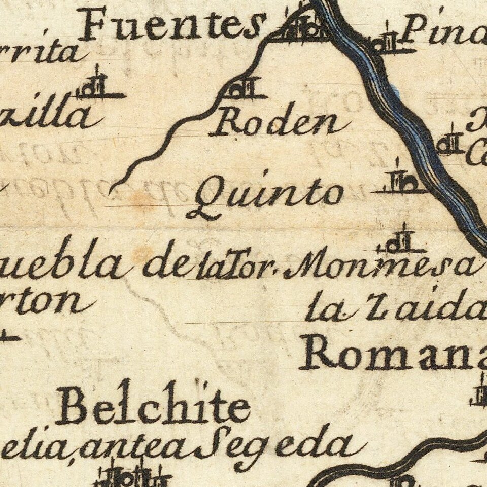
Antique engraved map of the Kingdom of Aragon. The map was published in Rome in 1696 by Giacomo Cantelli da Vignola and Giacomo Giovanni Rossi.
The map shows the Aragon region in northeast Spain, roughly centered on Zaragosa ("Saragoza").
The map extends east to Lerida, south to Castello de la Plana, and west to Calahorra.
The Ebro River is shown.
If you are a student, write to us in telegram: @antiquemaps and indicate what material you need and for what work you need a map in high detail. We are ready to provide material on special terms. For students only!
![(Pro-Spanish Republic Political Broadside) [Lift The Embargo Against The Spanish Republic] President Roosevelt says . . .](/map/small/50218.jpg)

