Map size in jpg-format: 109.327MiB
Click to open in high resolution (open in new tab).
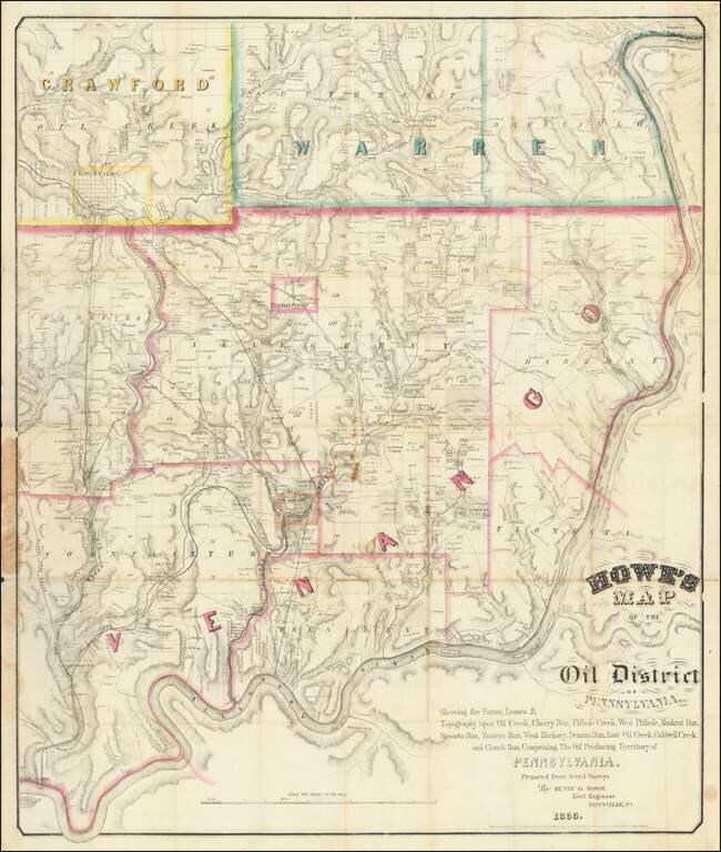
The First American Oil Boom.
Rare Titusville-published map of the Pennsylvania Oil Region, the location of the first major oil boom in U.S. history.
The map covers portions of Venango, Warren, and Crawford counties, which are outlined in pink, green, and yellow respectively. Pleasantville, one of the early oil boomtowns in outlined in pink watercolor as well. Titusville, where the map was published, is shown in the upper left corner. Pit Hole City, the center of the boom, is shown at the bottom center of the map highlighted in orange watercolor. John Wilkes Booth was an early investor in oil exploration at Pithole. The first successful commercial oil well in the United States was completed by E.L. Drake near Titusville, Pennsylvania, 28 August 1859.
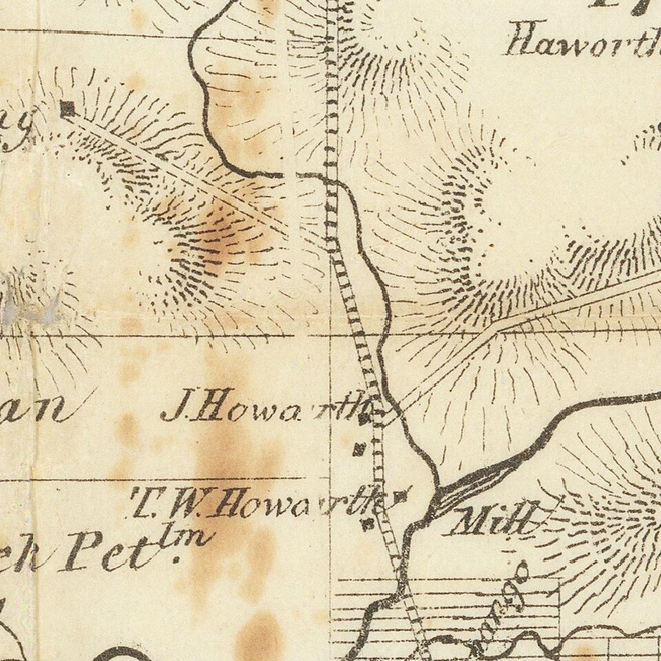
The map is quite detailed when it comes to showing the actual works and land claims of the oil companies. The map is filled with the names of dozens of exploration companies, oil pumps and pipelines, refineries, etc.
The following note appears under the title in the lower-right corner of the map:
Showing the Farms, Leases & Topography upon Oil Creek, Cherry Run, Pithole Creek, West Pithole, Muskrat Run, Stewarts Run, Hunters Run, West Hickory, Dennis Run, East Oil Creek, Caldwell Creek, and Church Run, Comprising The Oil Producing Territory of Pennsylvania. Prepared by Actual Surveys By Henry G. Howe Civil Engineer Titusville, PA. 1866
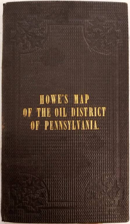
Henry G. Howe
Henry G. Howe was born in Massachusetts in 1839. He served in the Civil War with the 15th Massachusetts Volunteers, with whom he was wounded at Antietam in 1862. He was discharged in 1863, and according to city directories had made his way to Titusville by 1866. In that year he was married in Massachusetts (probably explaining the Massachusetts copyright location). Apparently, Howe later worked as a civil engineer in Chicago and Tombstone, Arizona, where, according to family lore, he witnessed the conflict between the Earps and the Clantons, which ended in the shootout at the OK Corral. Howe died in Bisbee, Arizona in 1866.
Rarity
No copies recorded at auction. Not mentioned in Streeter's discussion of Pennsylvania oil region maps (see Streeter VI, 3920, 3923, 3925 for the three 1865 mentioned.) OCLC records five copies: Yale, Harvard, Penn State, Hagley Museum, and British Library. To this, we can add the copy in the Rumsey Collection (2675).
If you are a student, write to us in telegram: @antiquemaps and indicate what material you need and for what work you need a map in high detail. We are ready to provide material on special terms. For students only!