Map size in jpg-format: 69.2823MiB
Click to open in high resolution (open in new tab).
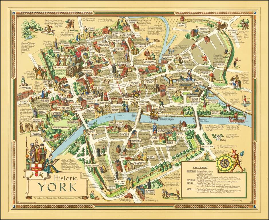
Finely executed pictorial map of the City of York, published in York by by Ben Johnson & Co.
The map is the work of York's own commercial illustrator Estra Clark.
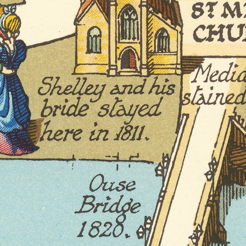
The map shows buildings, landmarks, sites of significant events, the city wall, and descriptions of same.
Estra Clark did several historic maps of English cities and regions as well as an Old Testament map of the Holy Lands.
If you are a student, write to us in telegram: @antiquemaps and indicate what material you need and for what work you need a map in high detail. We are ready to provide material on special terms. For students only!


